Best Hikes in the Columbia River Gorge
Visited April 2024 & April 2025
Wahclella Falls - Photos in this post were taken on my Fujifilm XT-5 using the Emulsion ‘86, 1970’s Summer, Summer of 1960, Summer Chrome, and Valenwood recipes
Carved by the massive Missoula Floods, the Columbia River Gorge is a stunning landscape that stretches along the Columbia River between Oregon and Washington. The gorge is packed with breathtaking vistas, vibrant wildflowers, and an incredible number of waterfalls, more than 70 on the Oregon side alone! Spring, from late April through early June, is the best time to visit if you want to see both waterfalls and wildflowers at their peak. During these months, waterfalls are especially powerful thanks to snowmelt from the winter, while wildflowers bloom in full force before beginning to wilt as temperatures rise later in June. There are about 236 trails throughout the Columbia River Gorge Scenic Area, but I’ll just be covering a small portion of them below.
Oregon Side
Horsetail Falls & Ponytail Falls
Washington Side
Latourell Falls
Hike Length: 2.4-mile loop to the upper falls
Elevation Gain: 625 feet
You can see the top of Latourell right from the parking lot, and it takes less than five minutes to reach the base. If you're in the mood for a longer walk, there's a scenic loop trail that takes you up to the upper falls as well.
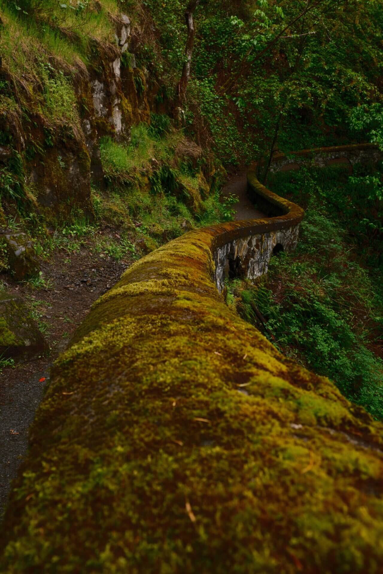
Shepperd’s Dell

Hike Length: Less than 5 minutes
Elevation Gain: Less than 50ft
I’d consider Shepperd’s Dell a bit of a hidden gem, it’s easy to miss unless you’re paying close attention or actively looking for it. The small parking area sneaks up on you and only fits a handful of cars. It’s located just east of Latourell Falls, right after you cross the bridge.
Shepperd’s Dell ended up being one of my favorite areas. The cobblestone railing and the bridge in the background made this waterfall feel like something straight out of the European countryside.

Bridal Veil Falls
Hike Length: 0.6 miles roundtrip
Elevation Gain: Less than 200
Bridal Veil Falls is located at the site of a former lumber mill in what’s now a virtual ghost town. Tucked away in a lush forest beneath the Historic Columbia River Highway, the waterfall cascades over moss-covered basalt in two tiers, dropping a total of about 120 feet. If you're looking for views of the Columbia River, there's also a short overlook loop trail, just half a mile long, that starts from the same parking lot.
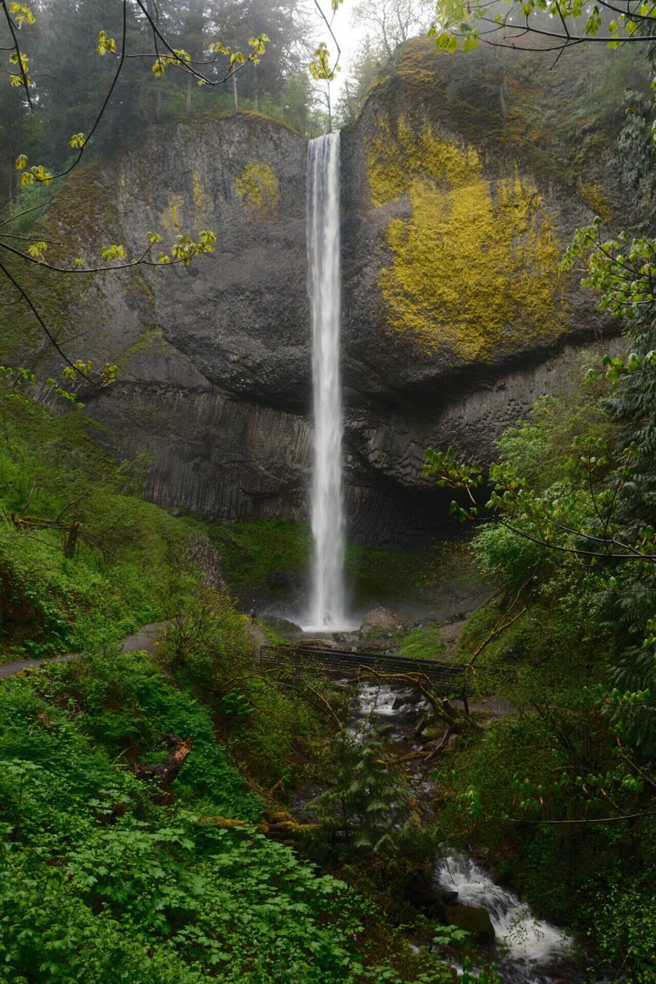
Wahkeena Falls

Hike Length: 0.5 miles roundtrip
Elevation Gain: About 800 feet
Wahkeena Falls is an easy-to-reach waterfall located just above the parking lot, but if you're up for more adventure, you can turn it into a longer outing by hiking the full 5.4-mile loop to Multnomah Falls. I did opt to extend my hike, but not to Multnomah Falls. My final destination was Fairy Falls, less than 1 mile past Wahkeena.
Fairy Falls
Hike Length: 2 miles roundtrip
Elevation Gain: 1,500 feet
After passing Wahkeena Falls, the trail begins to climb a series of paved switchbacks up a steep hill. Once you reach the top, the path continues to the left and turns into a dirt trail. This section was fairly easy overall, though there’s one steep, potentially muddy spot next to a large fallen log. From there, it’s just a short walk before you reach the charming Fairy Falls.
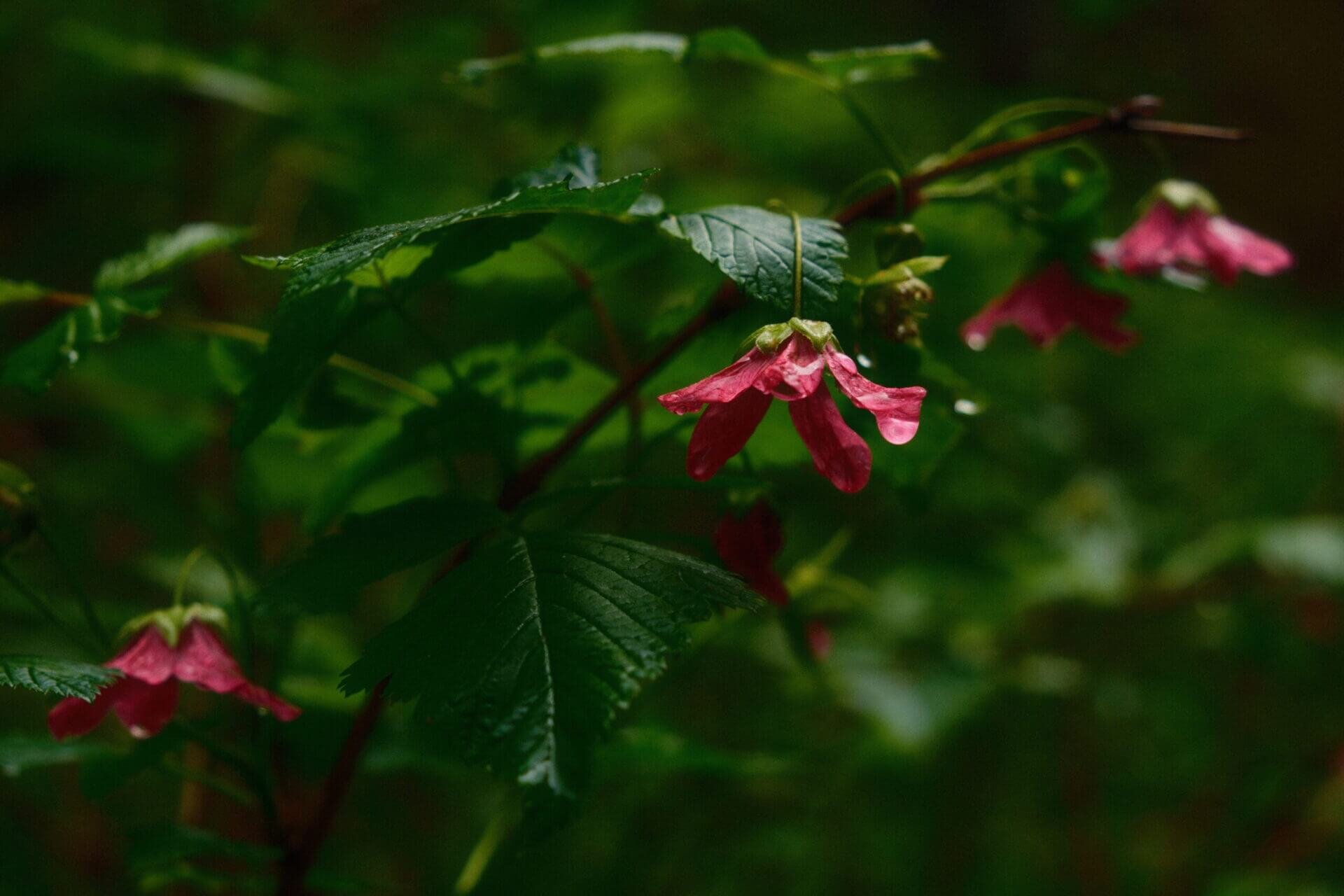
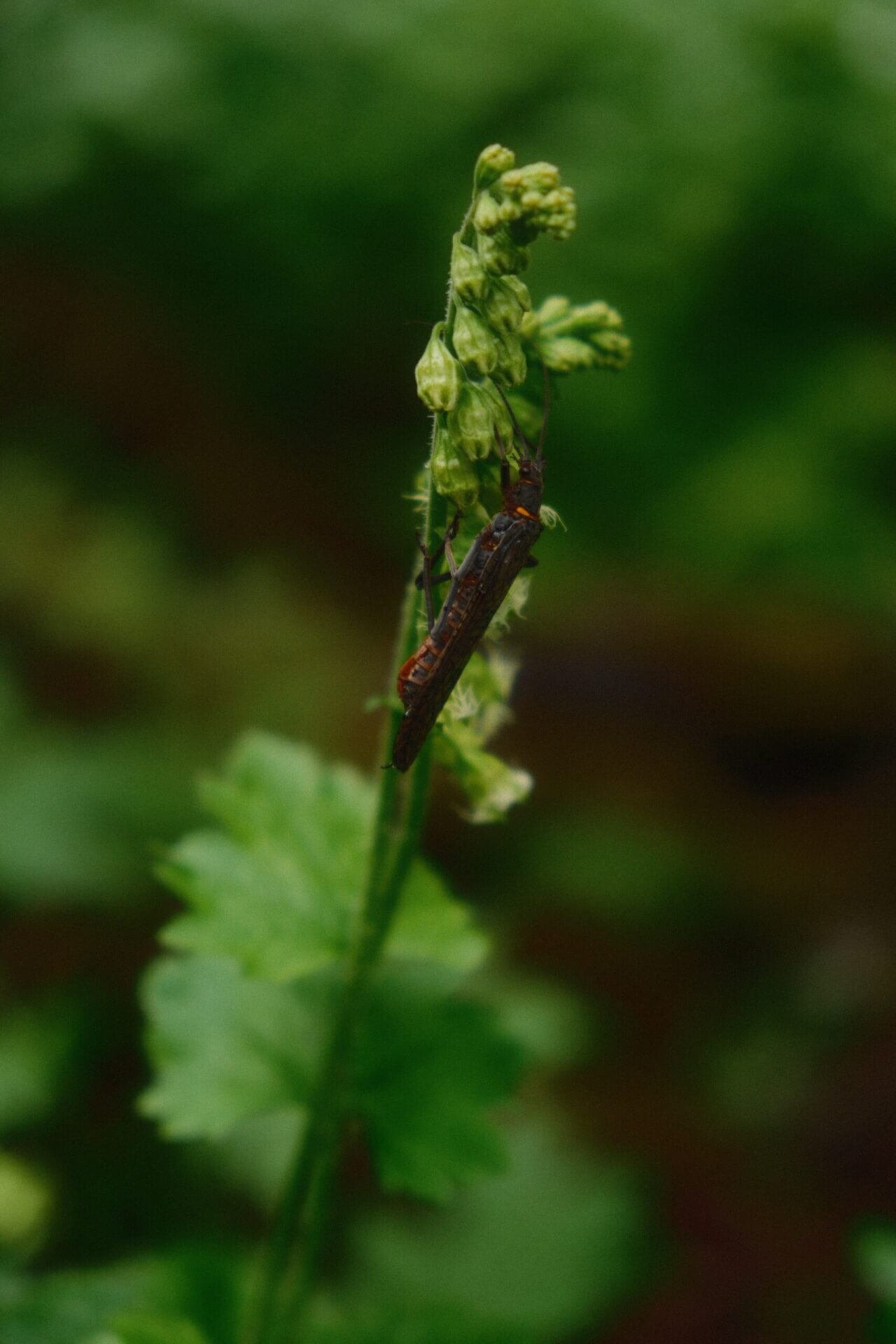
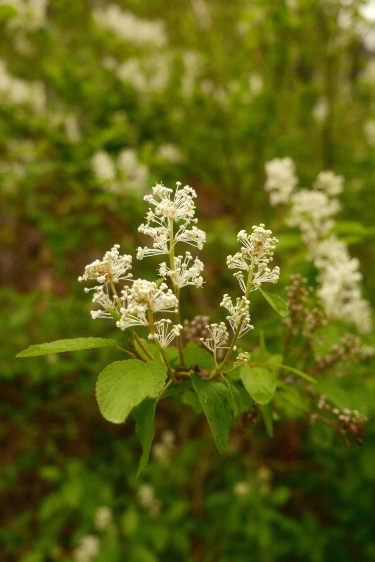
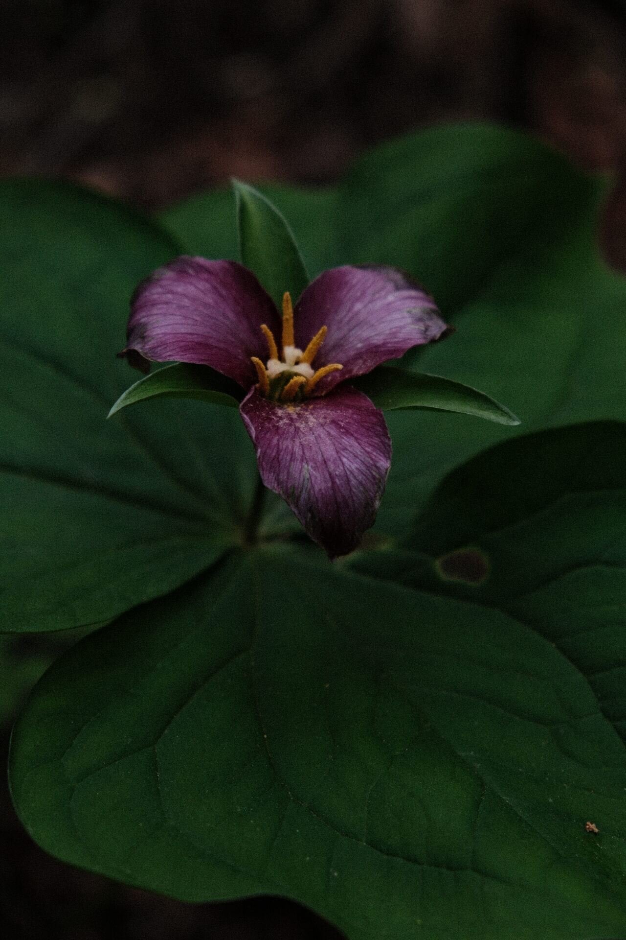
The hike to Fairy Falls was truly something out of a fantasy world. I stopped multiple times to capture pictures of wildflowers, insects, and smaller waterfalls.


Multnomah Falls
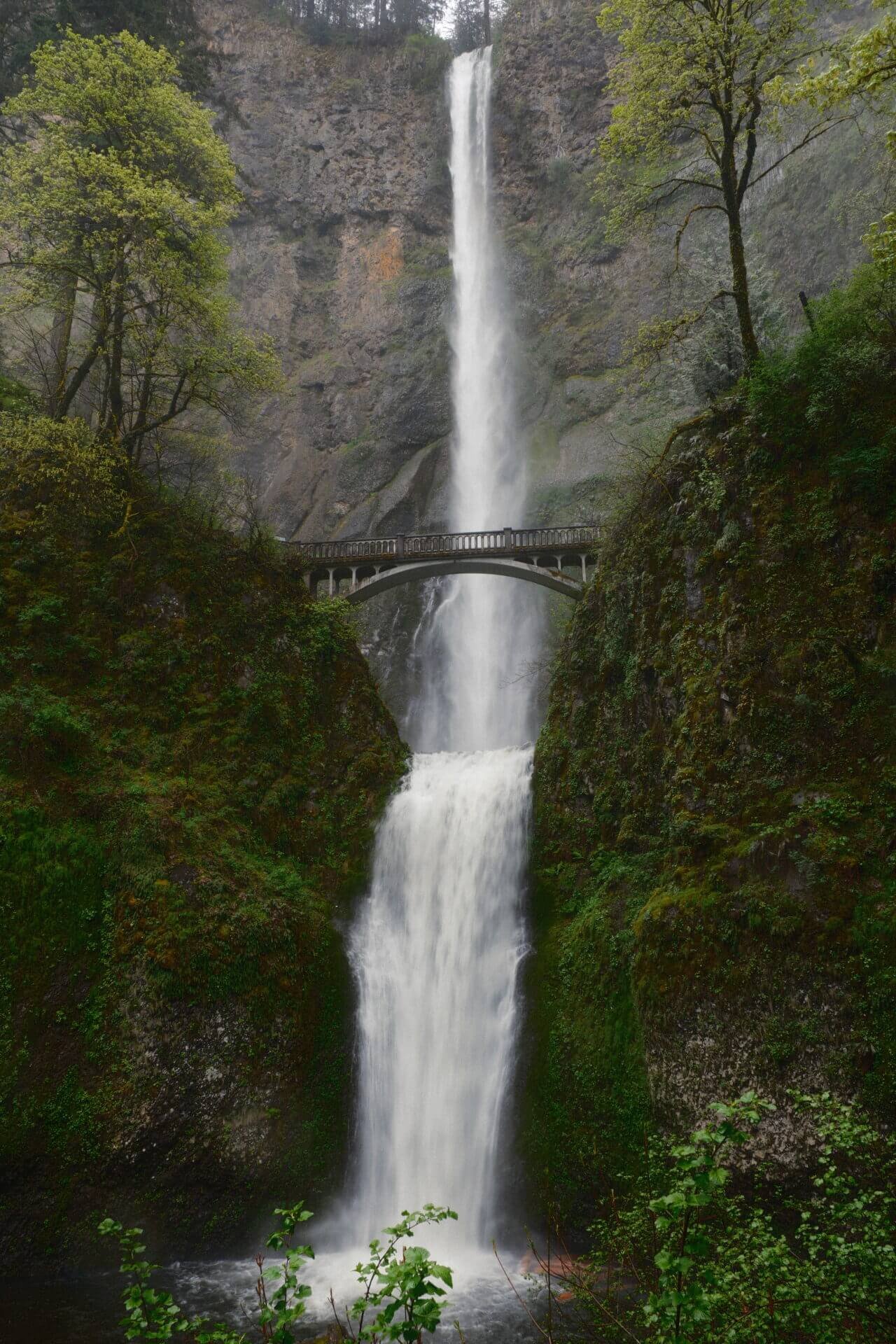
Multnomah Falls is the most visited natural recreation site in the Pacific Northwest, drawing over 2 million visitors each year. After all, what would a trip to the Columbia River Gorge be without taking in this iconic waterfall? At 620 feet, it's the tallest in Oregon. I recommend arriving early to beat the crowds, as this spot gets busy quickly. There's a 2.4-mile roundtrip trail that leads up to the bridge, and for those looking to go farther, the trail continues beyond that point for a longer adventure.
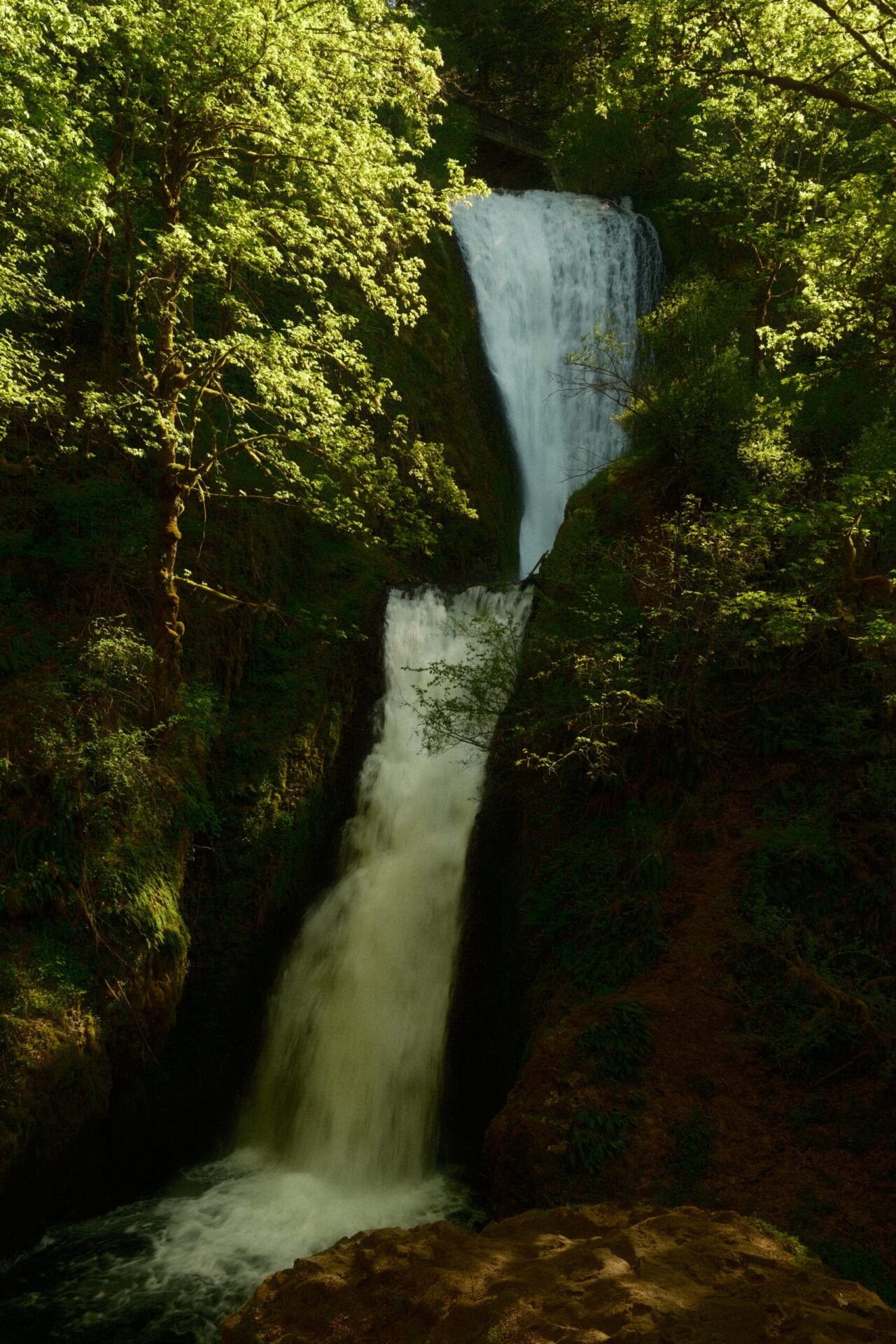
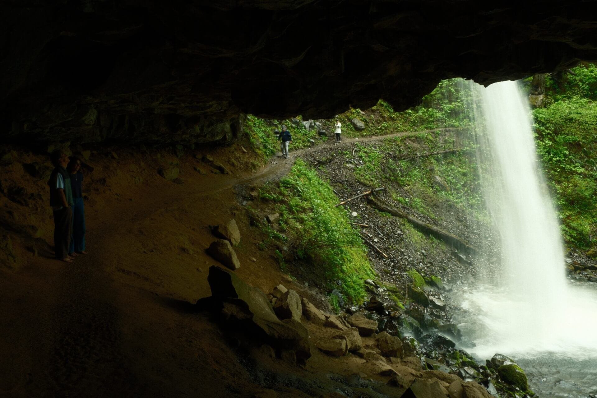
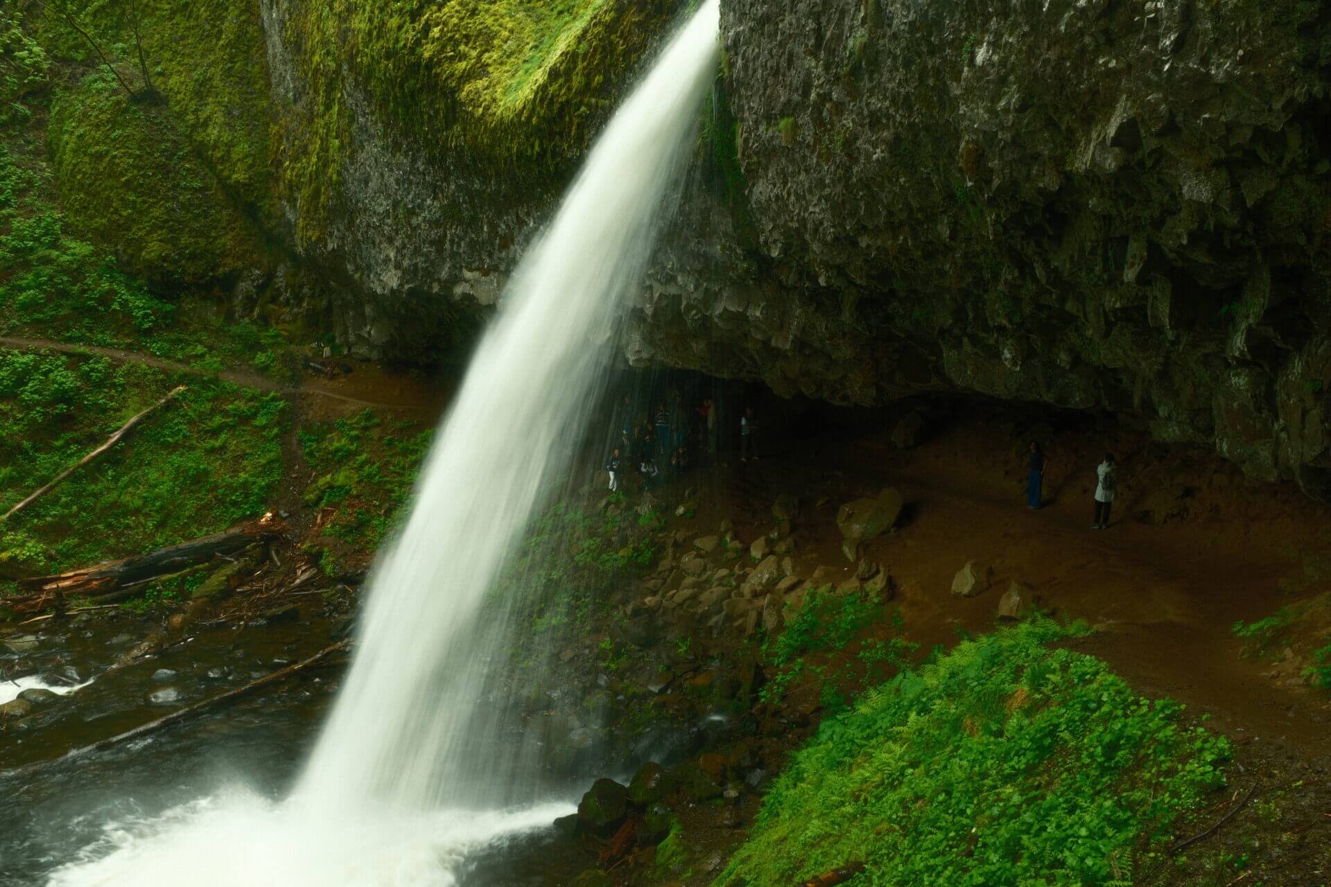
Horsetail Falls & Ponytail Falls

Hike Length: 1 mile roundtrip to Ponytail
Elevation Gain: 320 feet to Ponytail
Horsetail Falls is easily visible from the side of the road, making it a quick and scenic stop. Just to the left of the falls, you’ll find the trailhead that leads to Ponytail Falls. As the photos above show, the two waterfalls look quite similar, but Horsetail is actually twice as tall. Despite its smaller size, Ponytail Falls is more picturesque, tucked away in the forest and set above the road. And the best part? You can walk right behind it in a naturally eroded cavern!
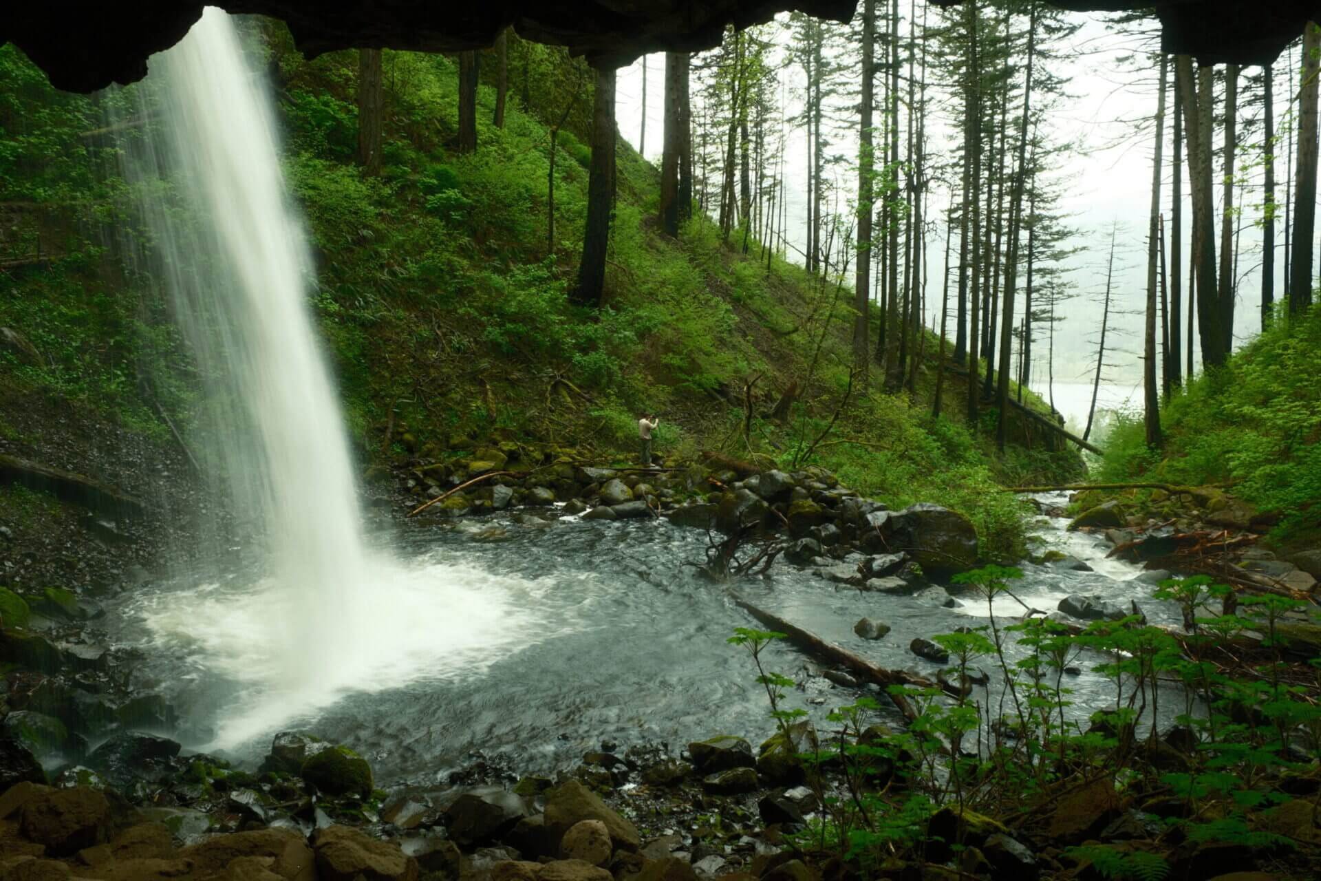
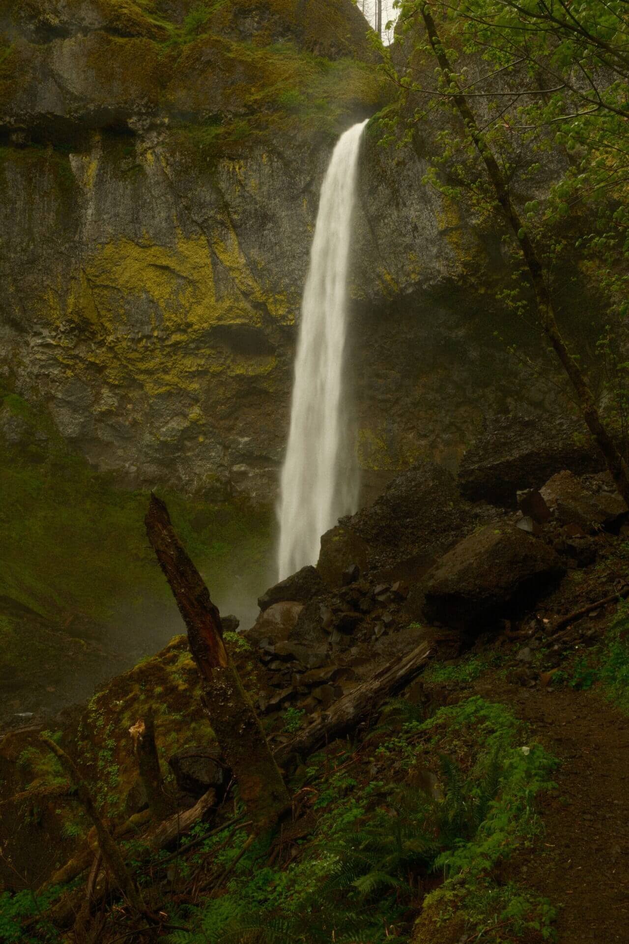
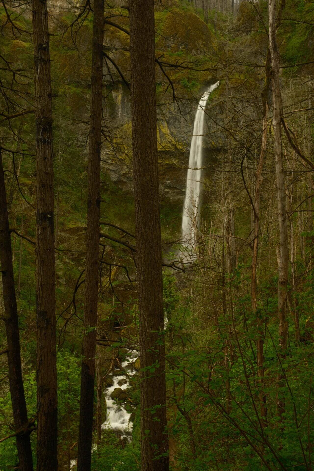
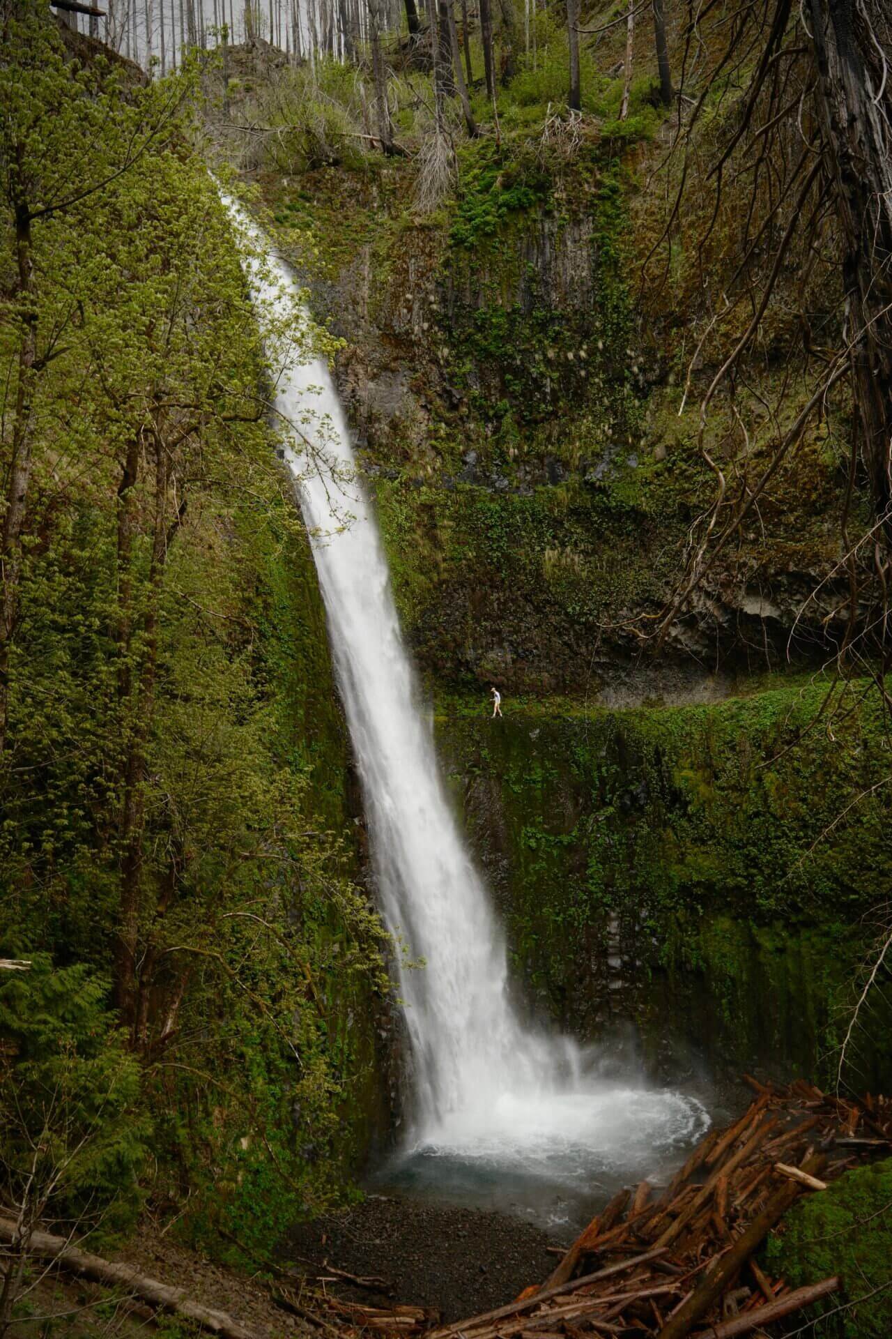
Elowah Falls
Hike Length: 1.6 miles roundtrip
Elevation Gain: 260 feet
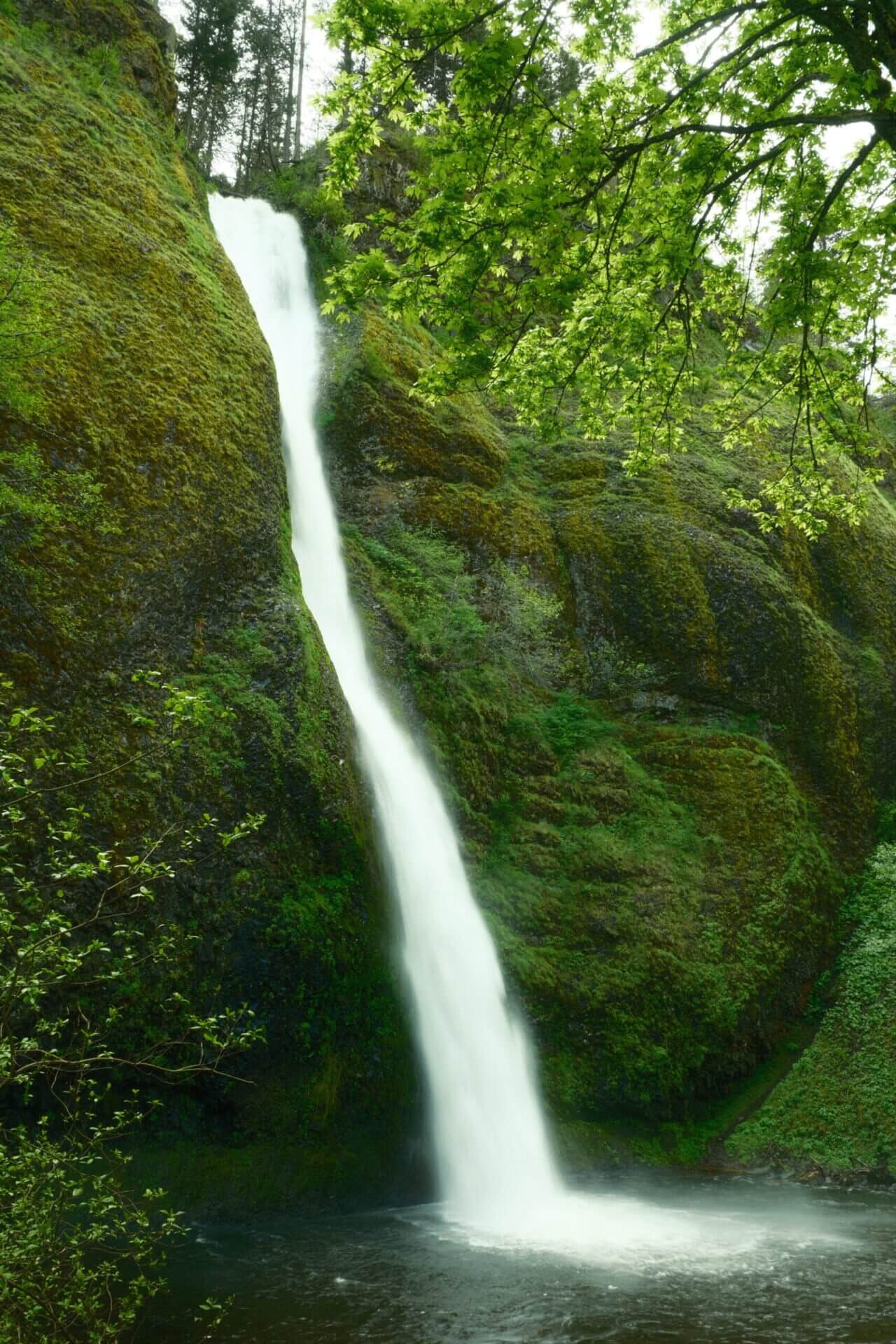
Elowah Falls isn’t as well-known as some of the other waterfalls in the area, but it’s absolutely worth a visit. I only saw two other people on the trail, and by the time I reached the falls, I had the entire place to myself. To get to Elowah, take a left at the trail split. The path to the right leads to the Upper Falls, though that section is sometimes closed. As you approach Elowah, you’ll descend a short series of switchbacks, with glimpses of the waterfall appearing through the trees. Once you reach the base, there are large rocks along the side you can climb for a better view. If you plan to get close, be sure to bring a raincoat. Elowah kicks up a lot of mist, especially in the spring.

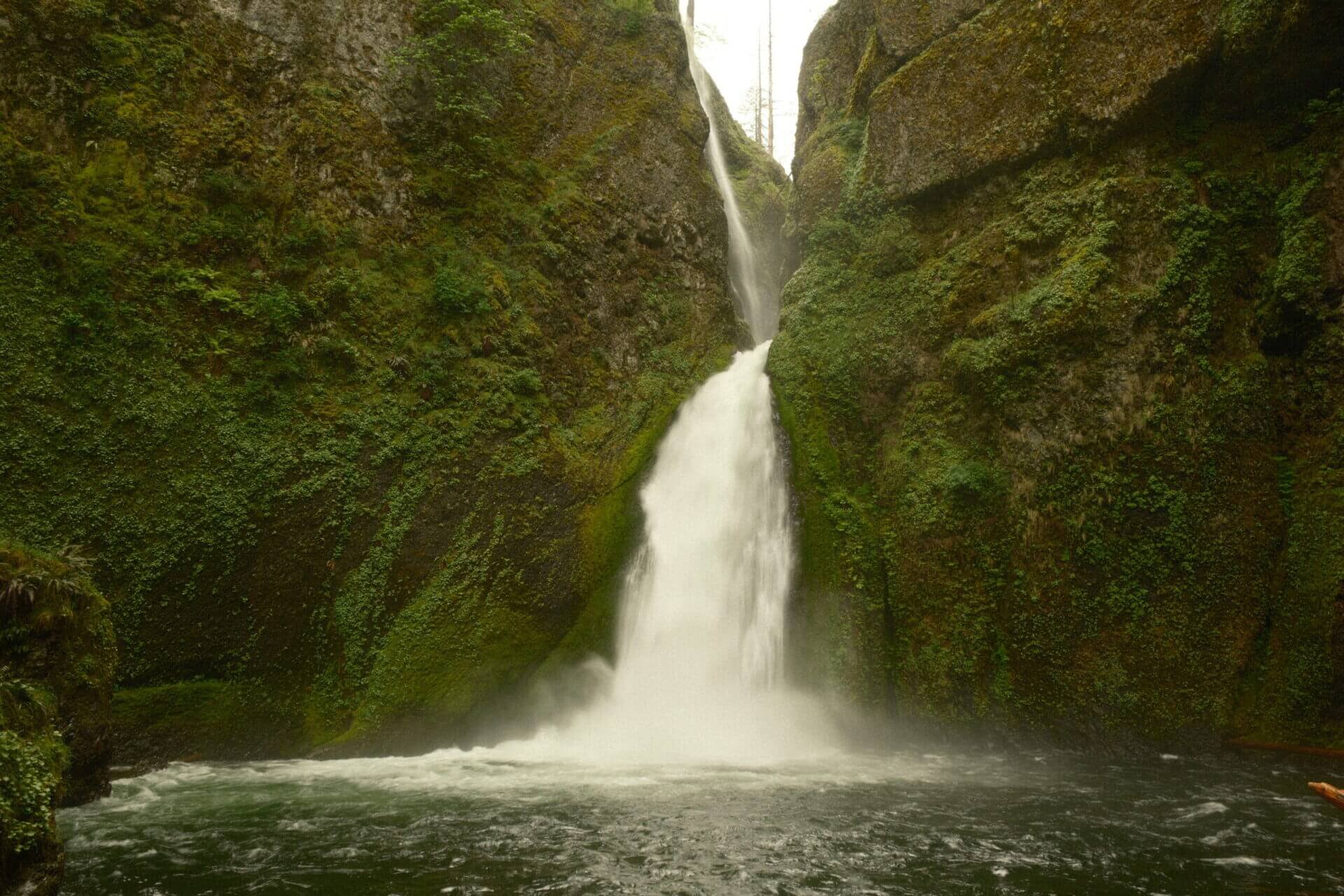
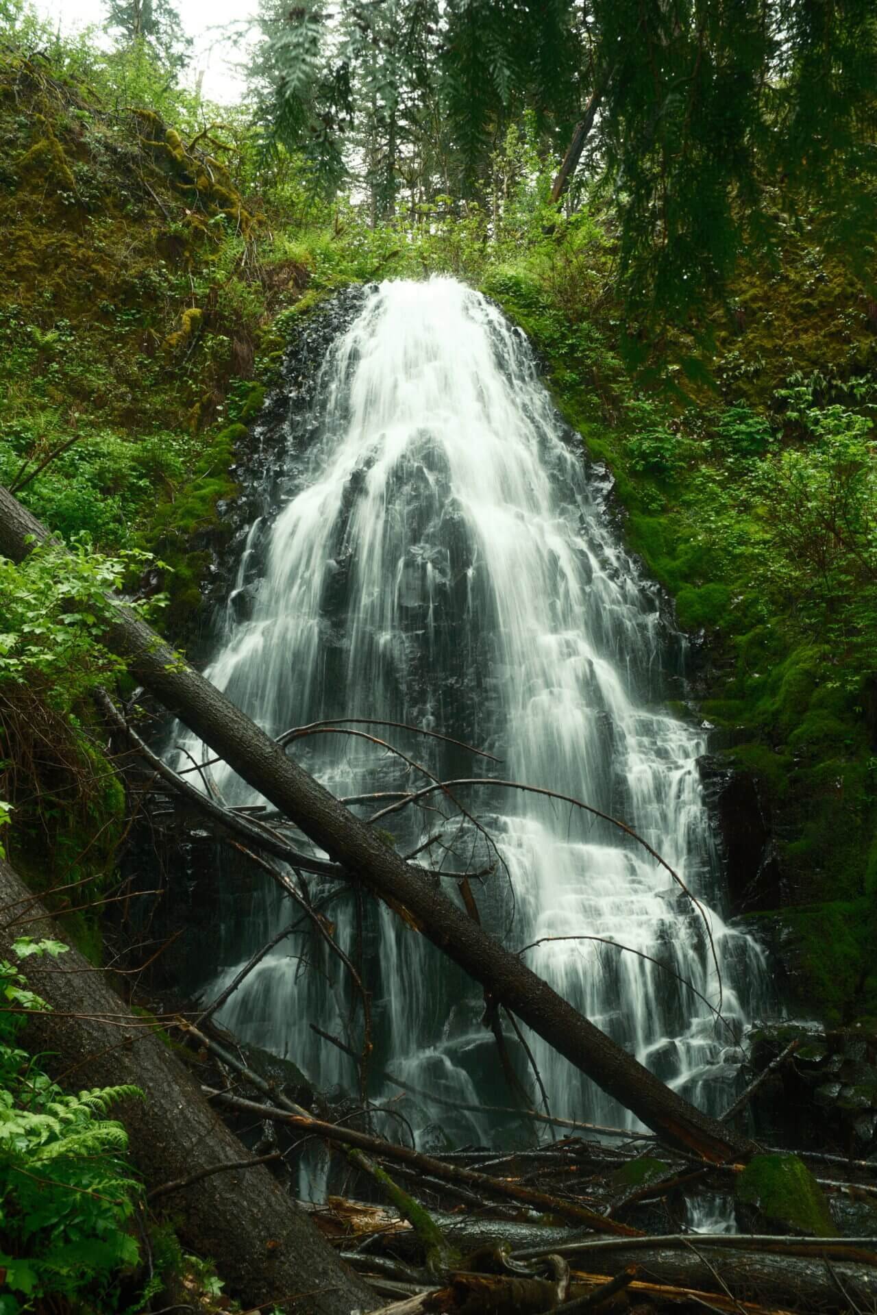
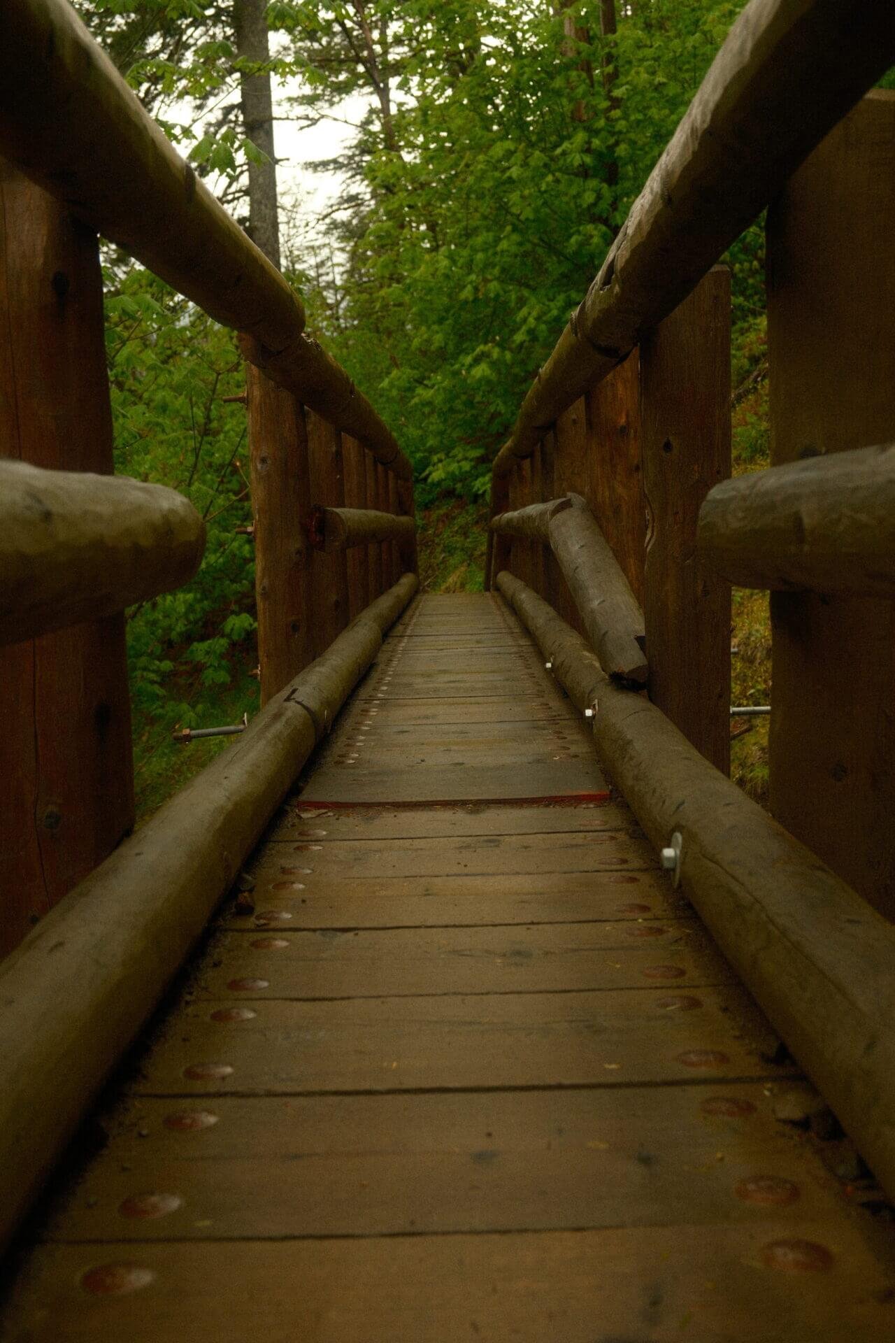
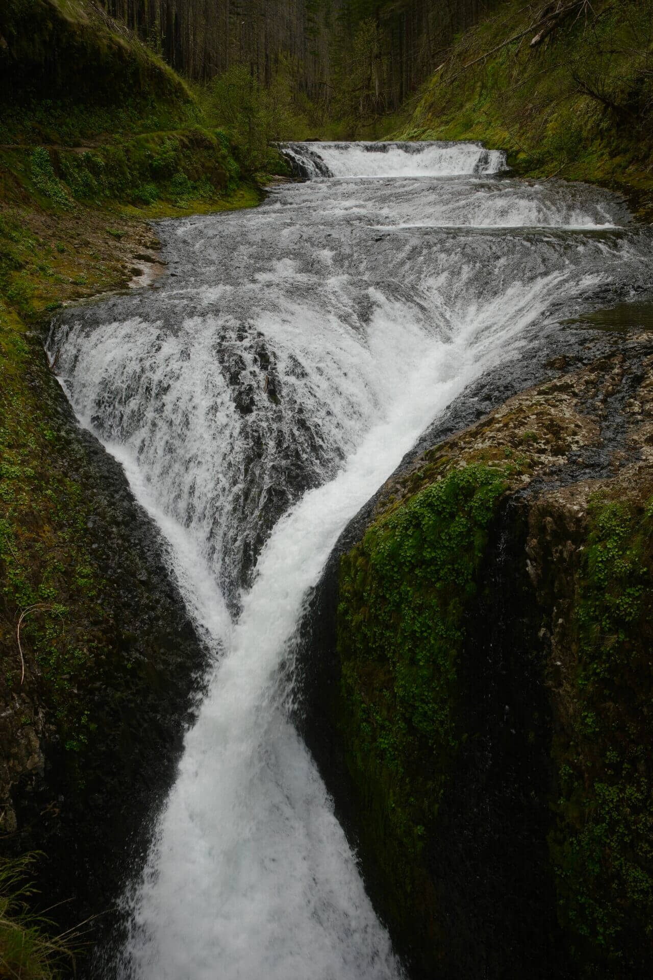
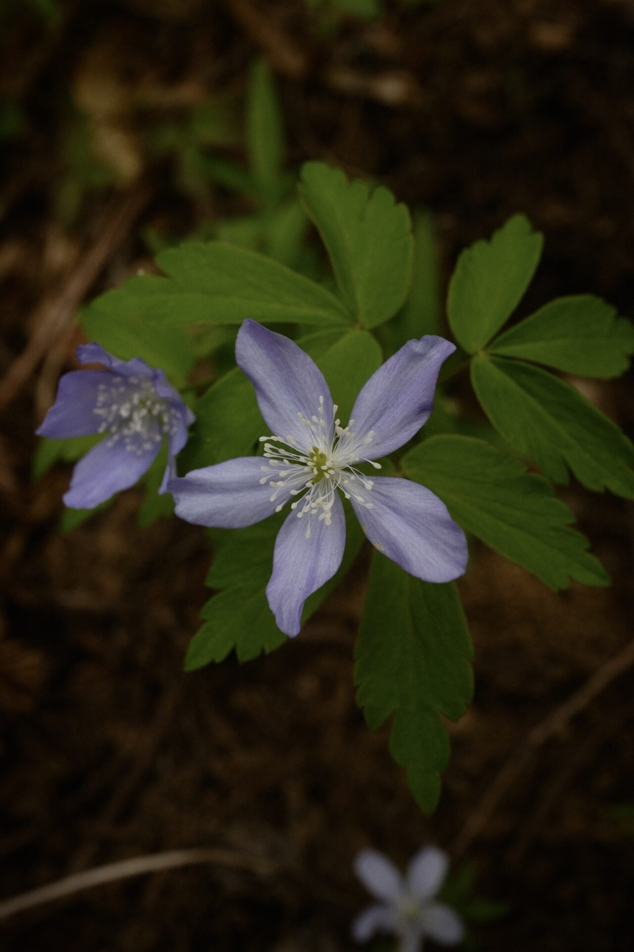
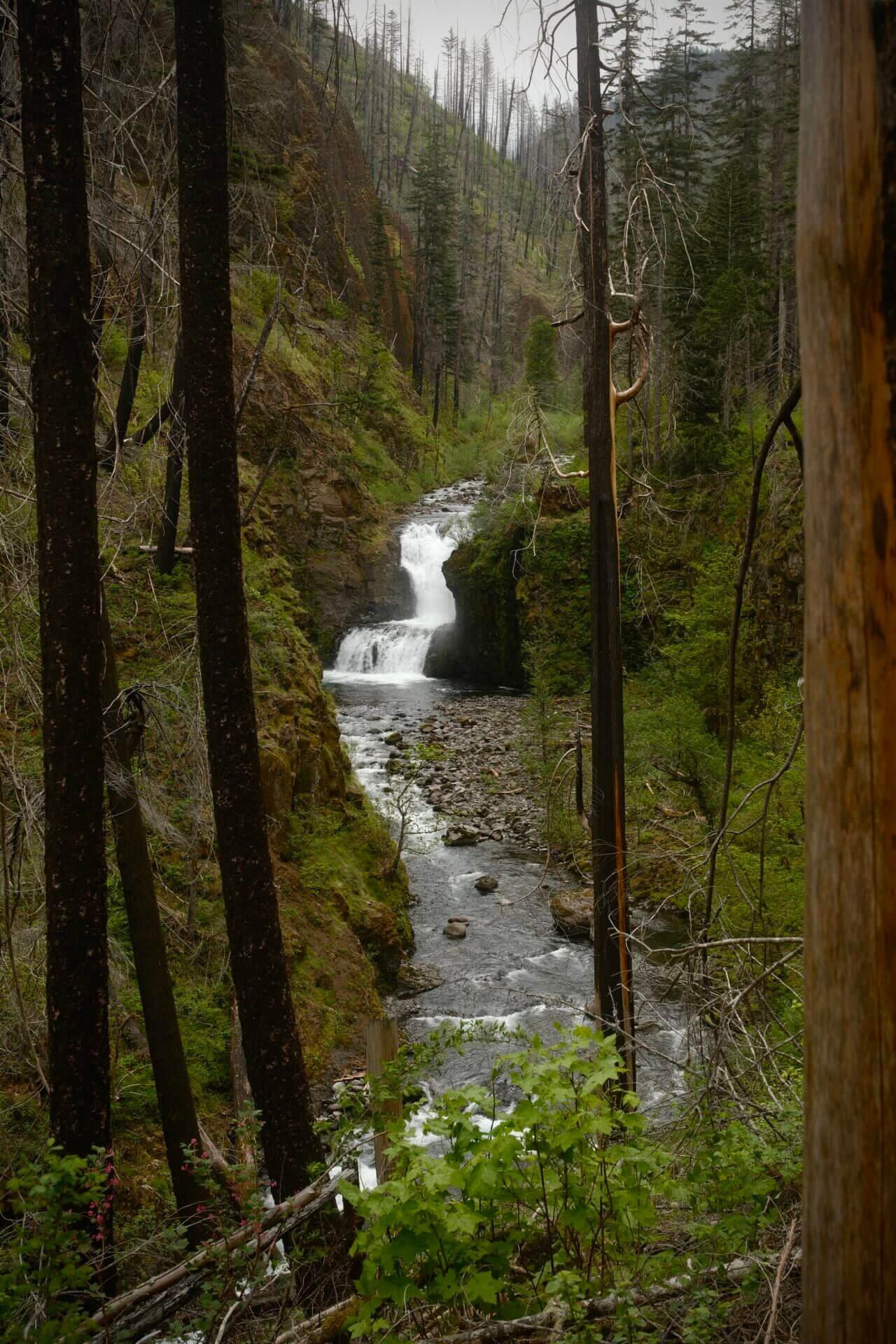
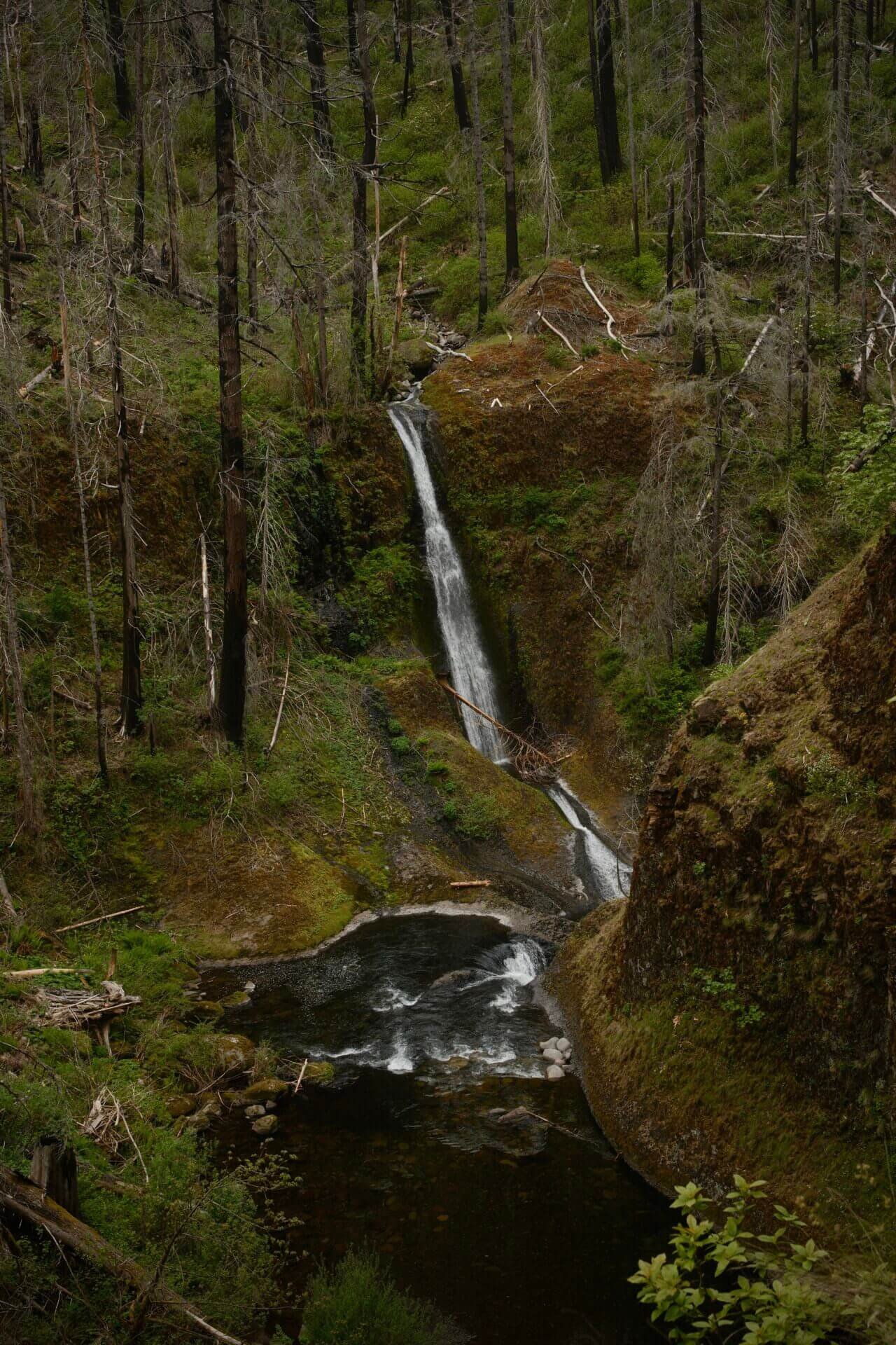
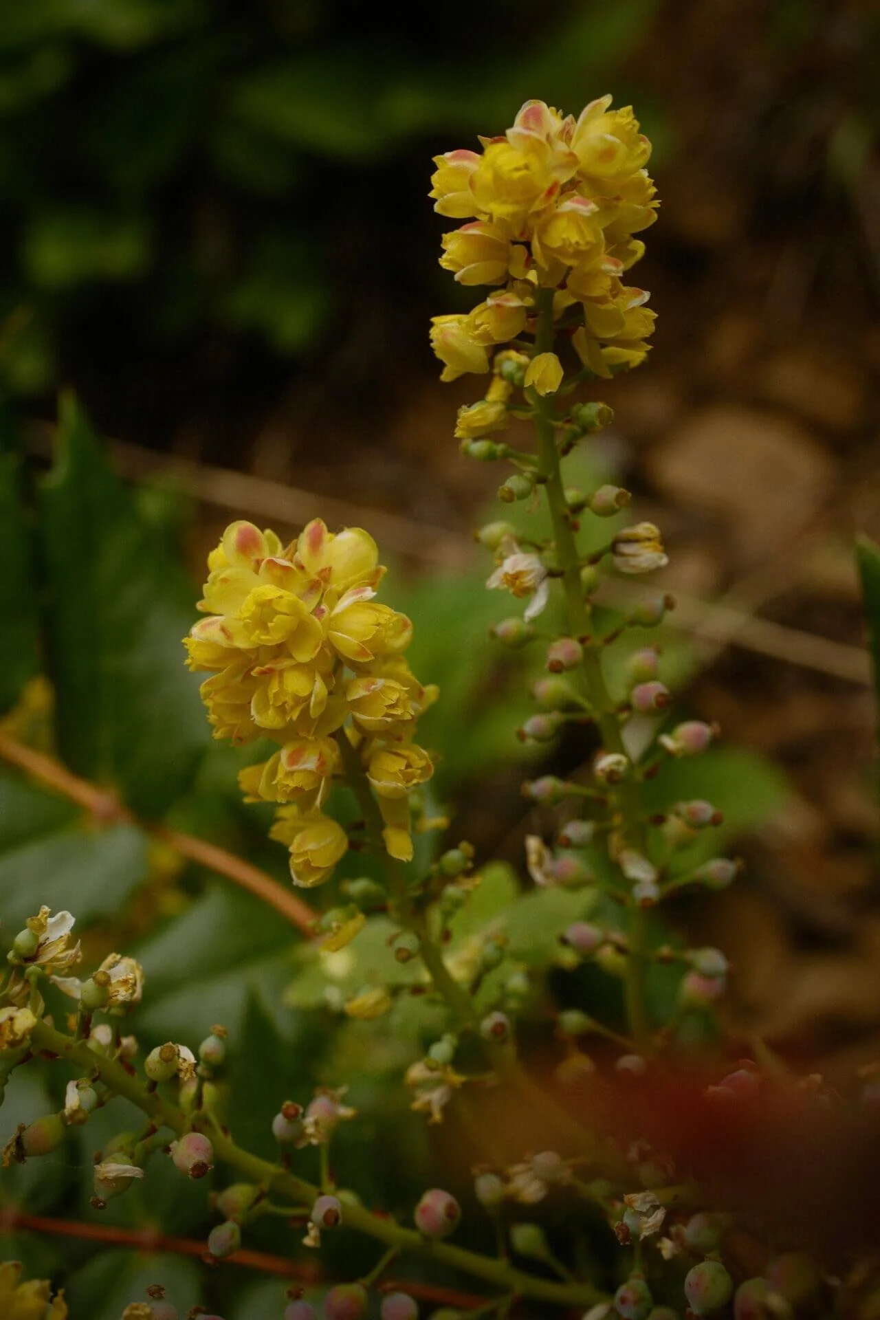
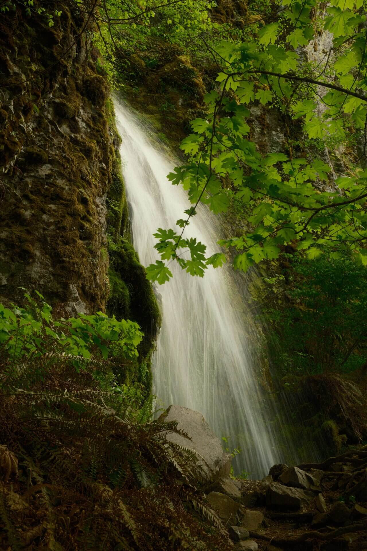
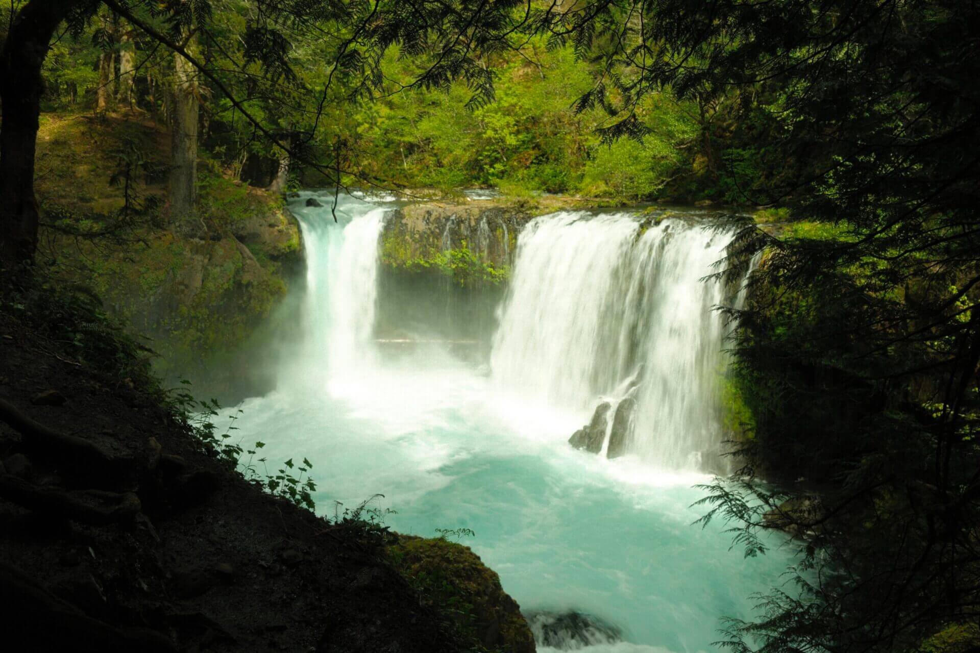
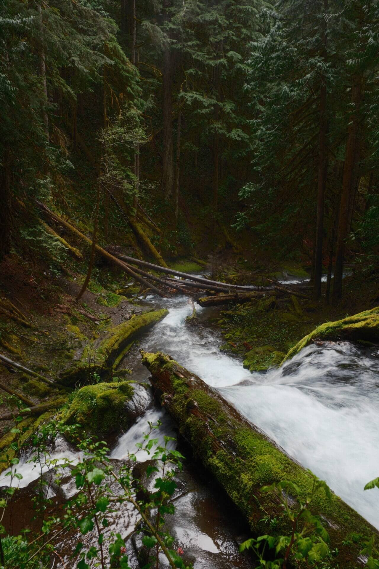
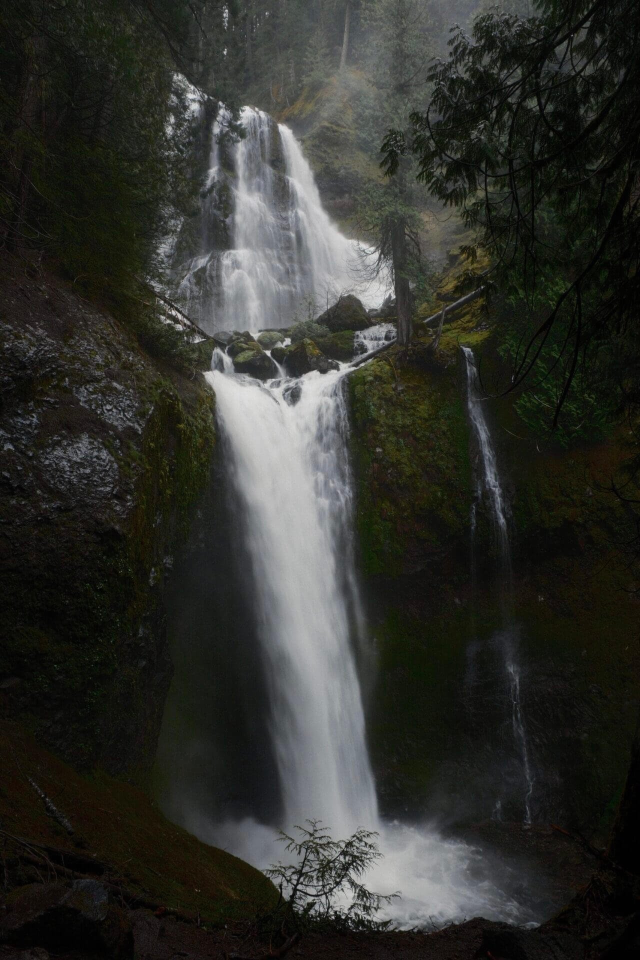
Wahclella Falls
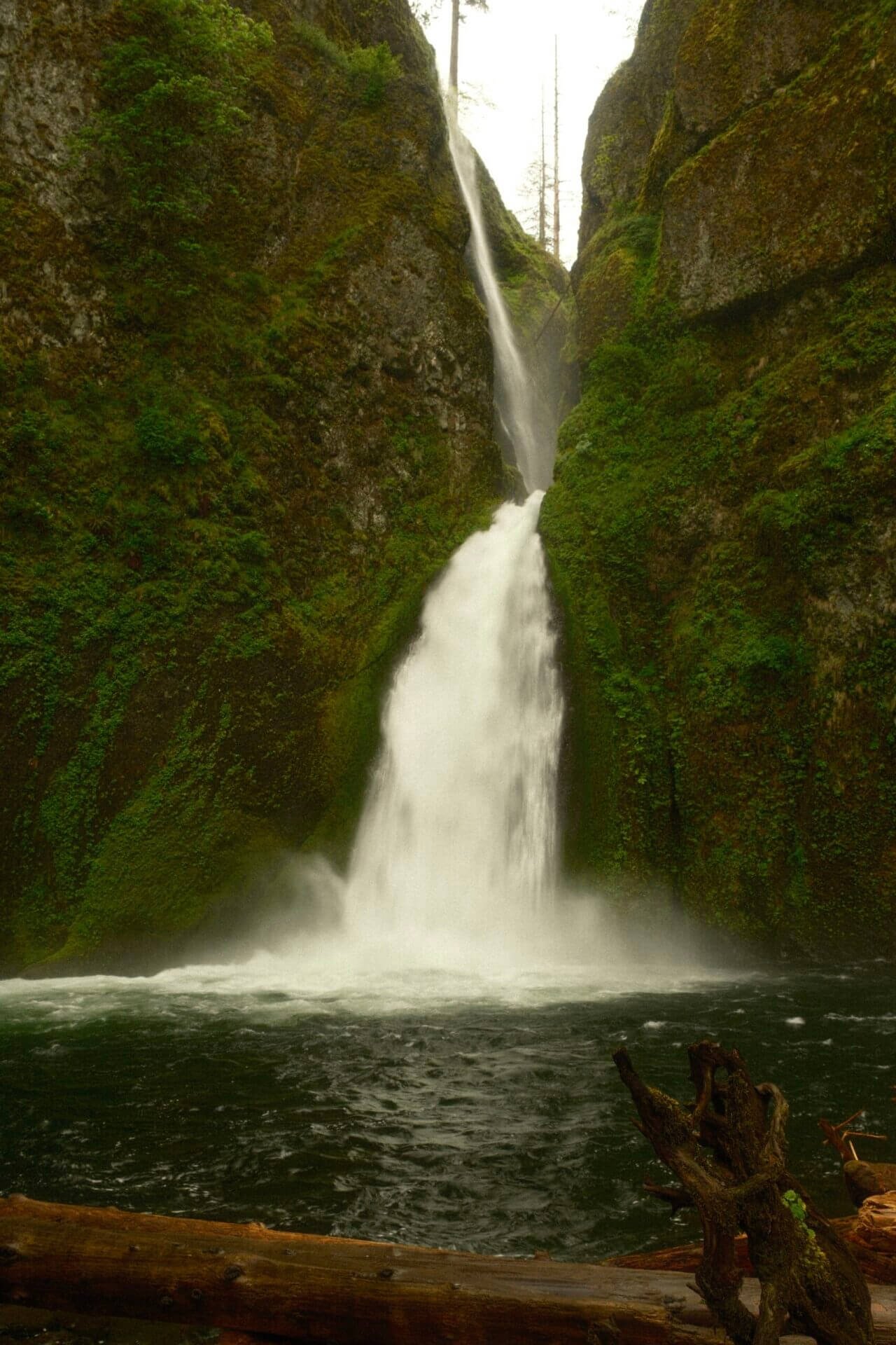
Hike Length: 2.4 miles roundtrip
Elevation Gain: 320 feet
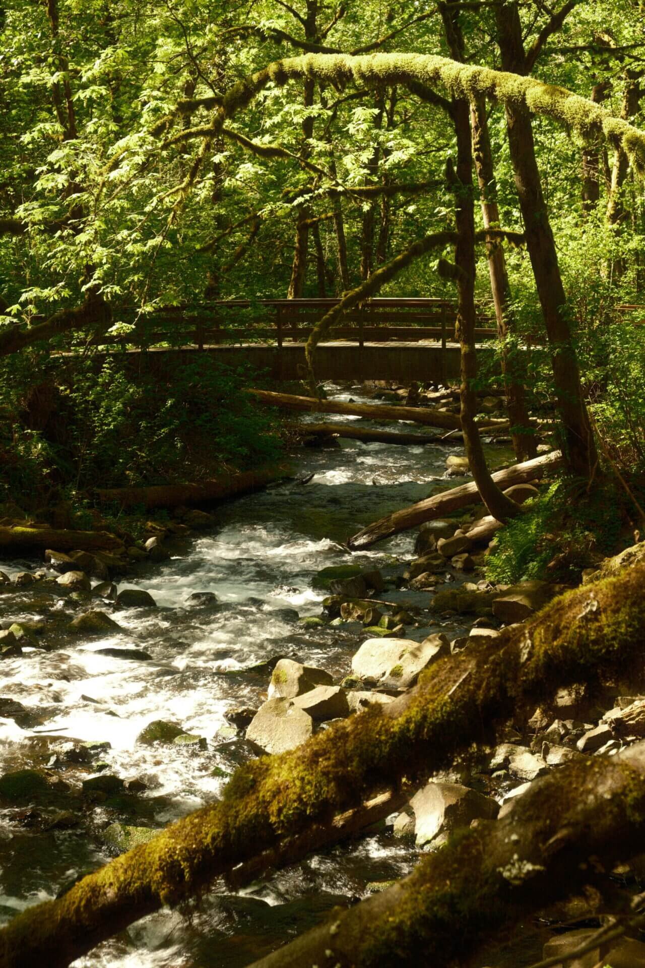
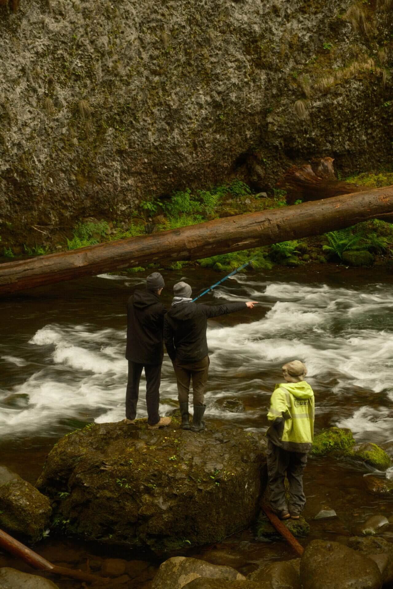
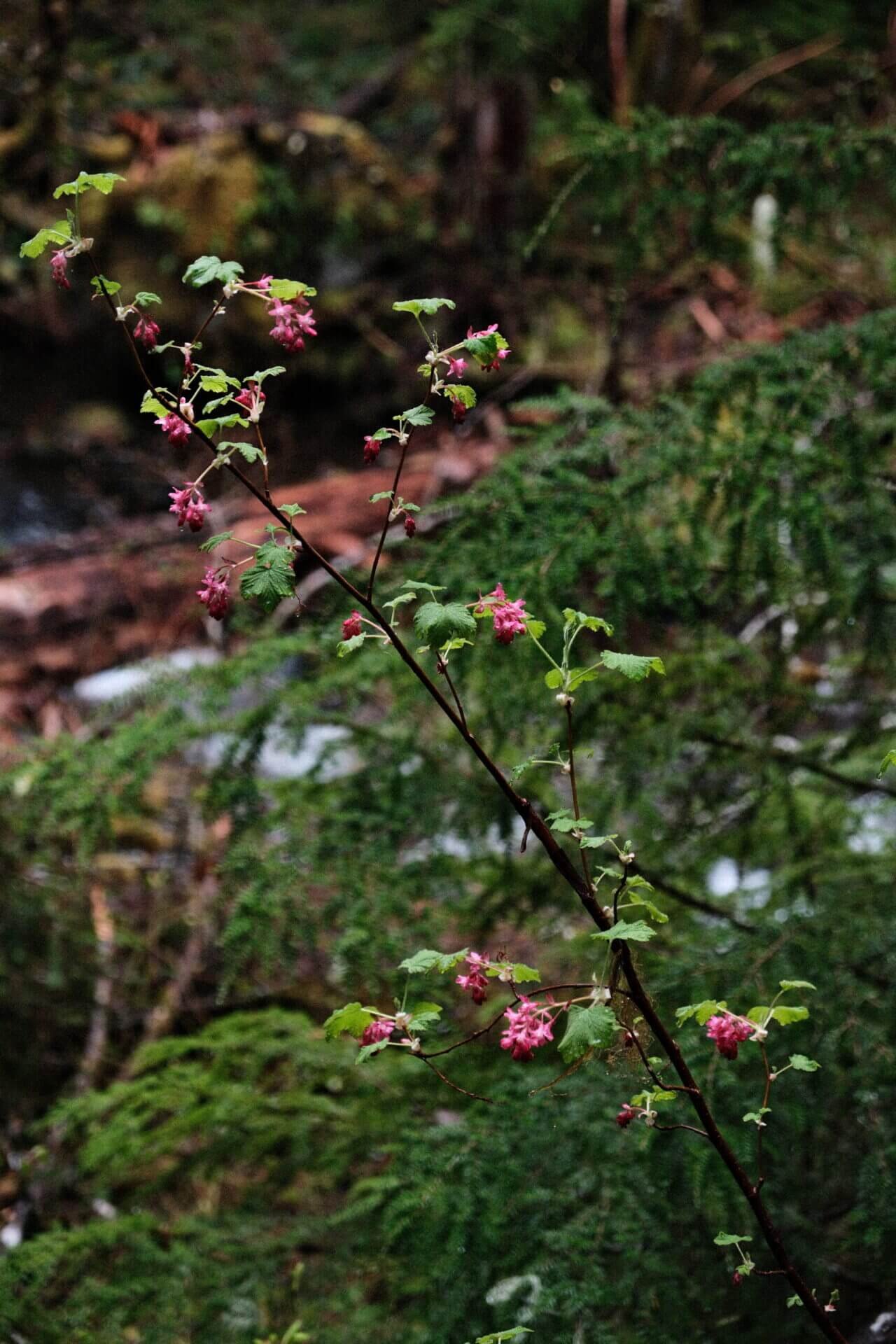
The easy hike to Wahclella Falls is one of my favorites on the Oregon side of the gorge. The sound of Tanner Creek trickling beside the trail, paired with the lush rainforest surroundings, made the experience feel both calming and grounding. About half a mile in, you’ll pass Munra Falls before continuing toward Wahclella. A bit farther down the trail, it splits into two paths, one that goes uphill and one that leads downward. Since both reconnect in a loop to Wahclella Falls, you can take either route and end up in the same place.


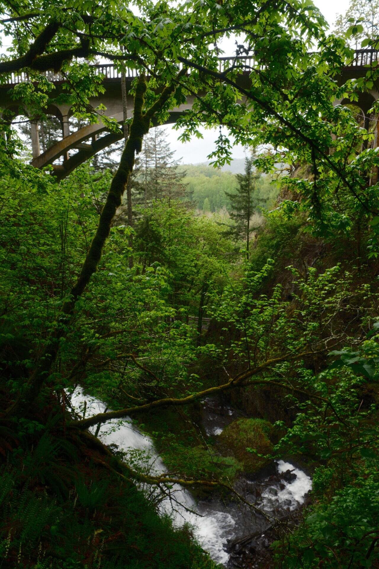
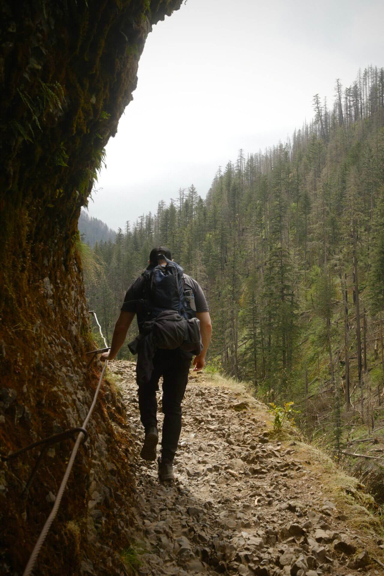
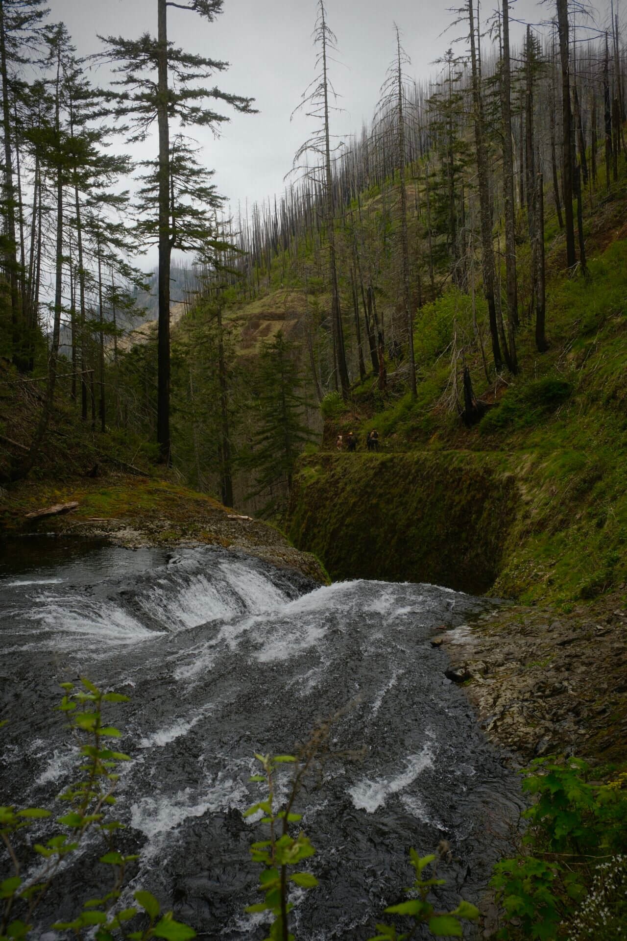
Eagle Creek Trail

Hike Length: 12.4 miles roundtrip to Twister Falls
Elevation Gain: 1110 feet
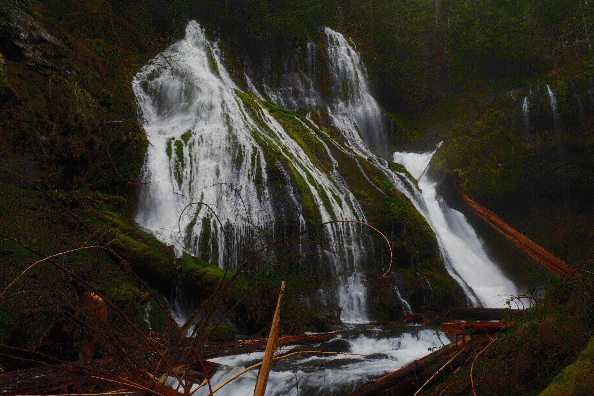
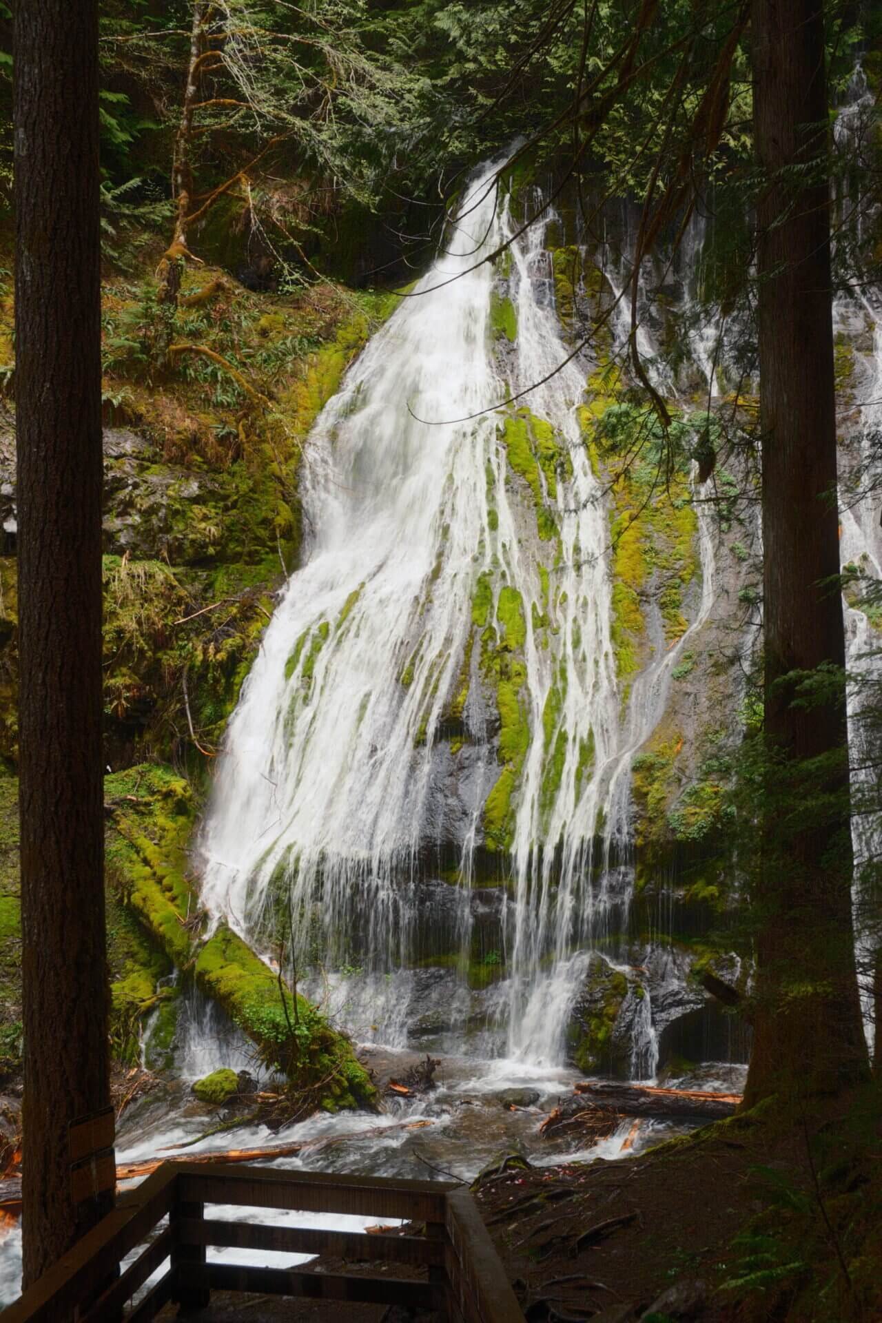
Eagle Creek offers dramatic views of over eight waterfalls, a roaring mountain stream, lush forests, and towering basalt cliffs. This trail will definitely test your fear of heights, with drop-offs that plunge over 200 feet. But don’t worry, sturdy cables are bolted into the surrounding cliffs to help put your mind at ease. I'm personally terrified of heights, and I actually did pretty well on this trail. If you plan to hike the Eagle Creek Trail, set aside a full day, especially if you're heading to Twister Falls or beyond. This isn’t the kind of trail that you want to rush through.
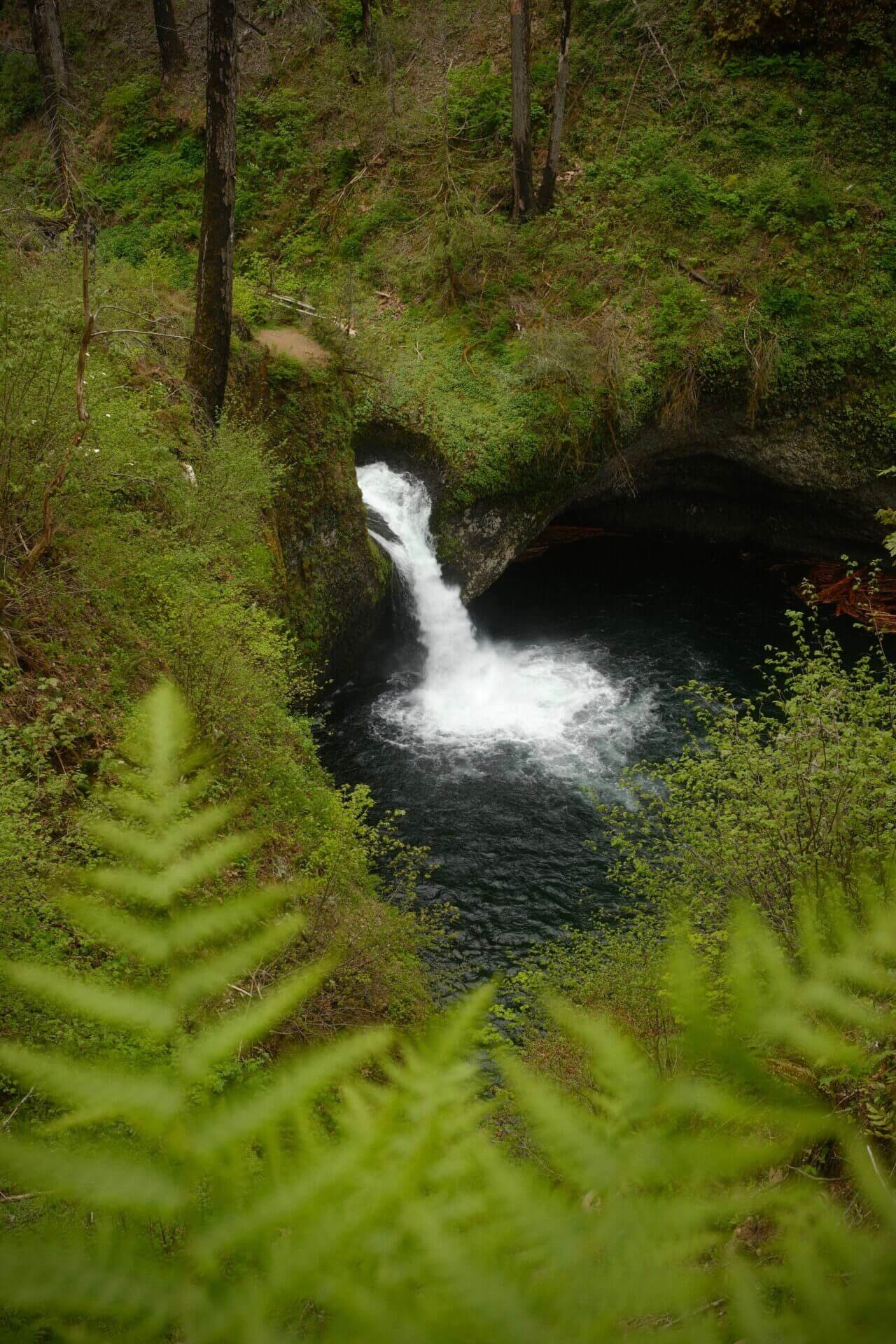


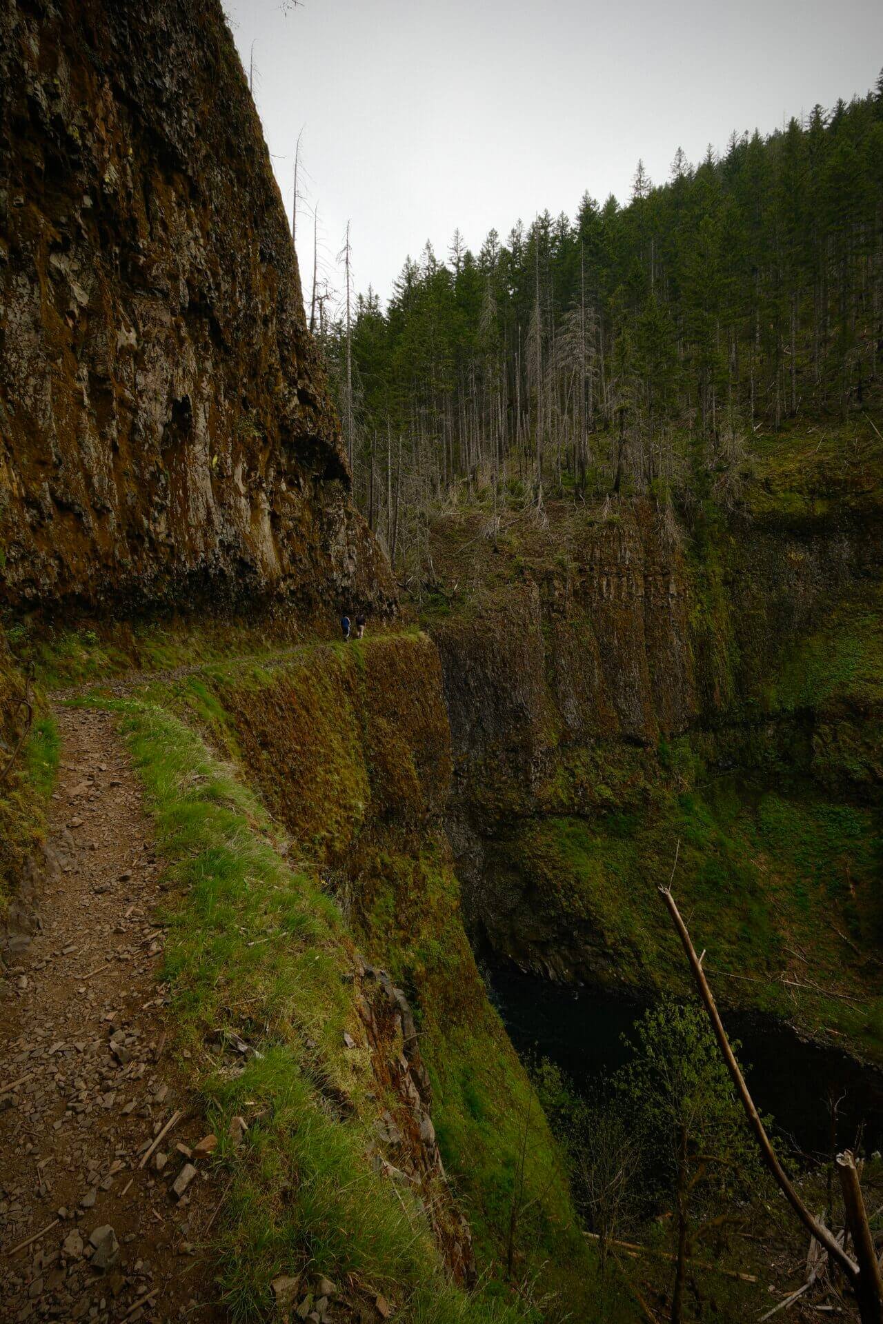
Since this trail was so long, I took a plethora of photos. Here are a few more of my favorites from this hike:


Starvation Creek State Park
Starvation Creek State Park features four waterfalls along a 1.6-mile out-and-back trail. Most of the path is paved and relatively flat, making it a high-reward, low-effort hike. The only downside is that the trail runs right alongside the highway, so it can get a bit noisy in some sections.
Starvation Creek Falls

Starvation Creek Falls is just 0.1 miles to the left of the parking lot, making it an easy and quick stop. There are two theories behind the name “Starvation Creek.” One suggests that a group of overland pioneers nearly starved here due to a lack of supplies. The other traces the name to the winter of 1884–1885, when two Union Pacific Railroad trains were stranded in the area by heavy snowfall, leading locals to call the site “Starveout.”
Cabin Creek Falls

Cabin Creek Falls is located just 0.3 miles from the parking lot. The waterfall drops 220 feet into a small natural amphitheater, nestled between a cliff and a massive boulder. While the sound of traffic can be noticeable along the trail, the atmosphere at the falls themselves feels quiet and almost serene.
Hole-in-the-Wall Falls
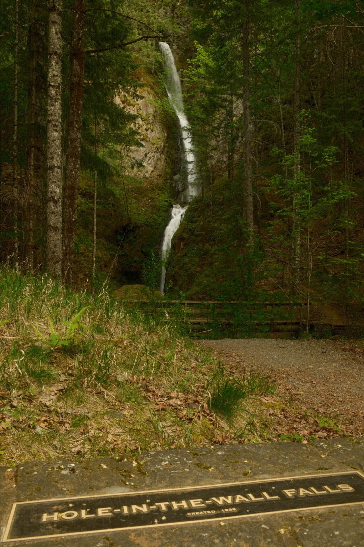
Hole-in-the-Wall Falls is located another 0.3 miles past Cabin Creek Falls. What makes this waterfall unique is that it was actually man-made. Warren Creek had a recurring flooding problem, and in 1938, highway crews came up with a solution, reroute the creek entirely. They blasted a pipe-like channel through the rock, and Hole-in-the-Wall Falls was the result.


Lancaster Falls
Lancaster Falls is the last of the four waterfalls and is just 0.2 miles beyond Hole-in-the-Wall Falls. Although this part of the trail isn’t paved, it’s still easy to walk on. Lancaster is the smallest of the four waterfalls, but it’s still a lovely stop. The trail continues past the falls for those heading up to Mount Defiance.
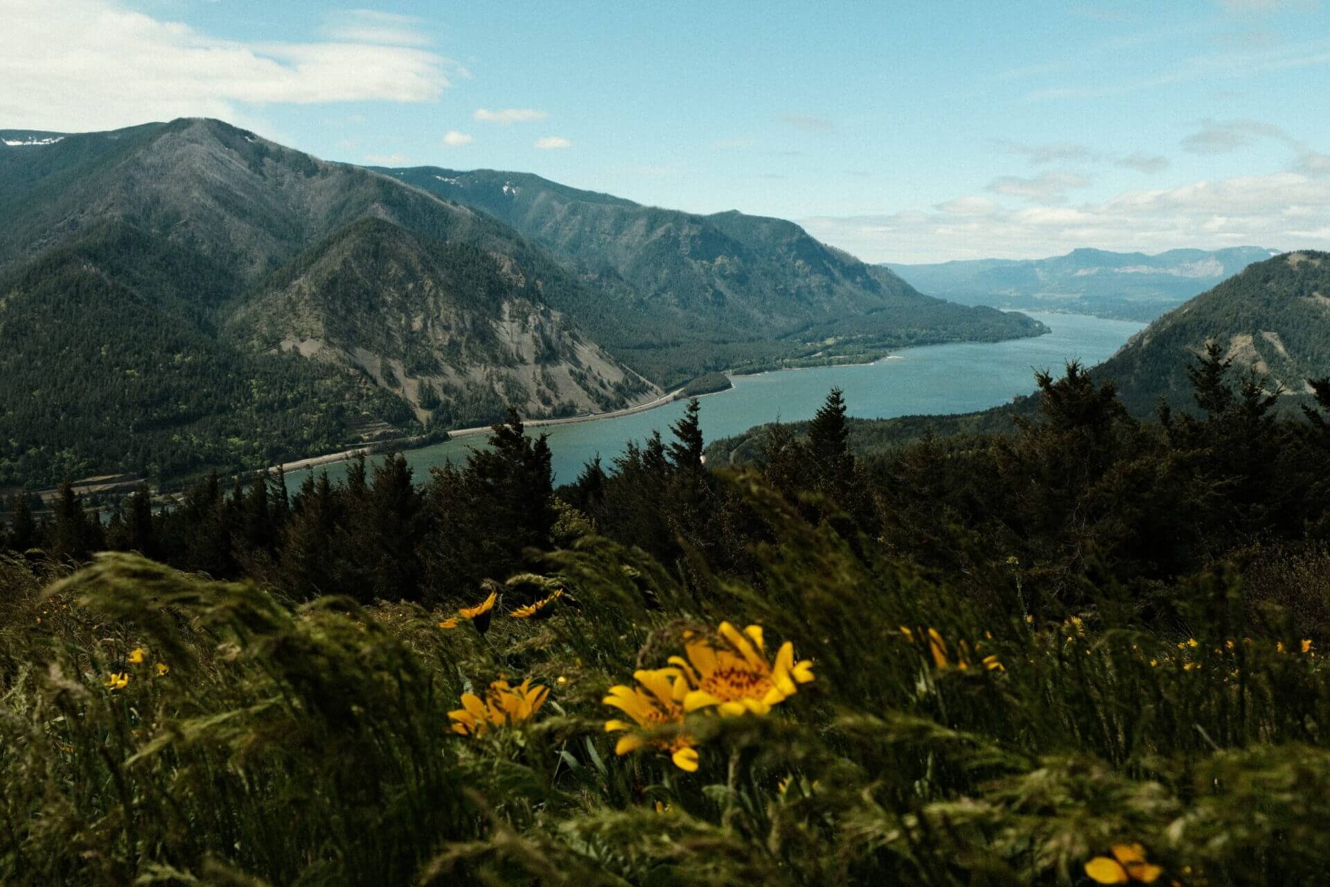
Rowena Crest

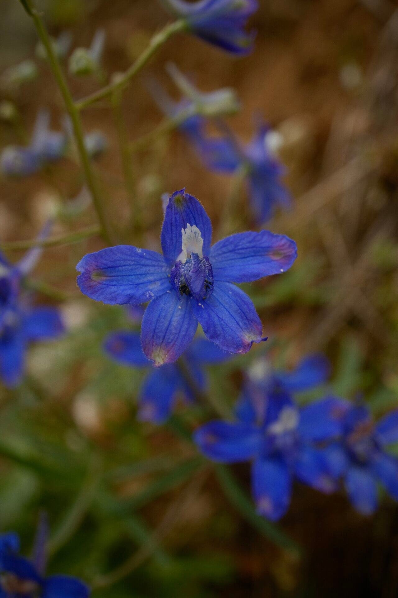
Rowena Crest offers a breathtaking viewpoint and serves as the starting point for two scenic hikes, the 2.2-mile Rowena Plateau Trail and the 3.4-mile Tom McCall Point Trail. In the spring, the area comes alive with colorful wildflowers. If you’re not up for a hike, don’t worry, you can still enjoy the blooms right near the viewpoint without hitting the trail.

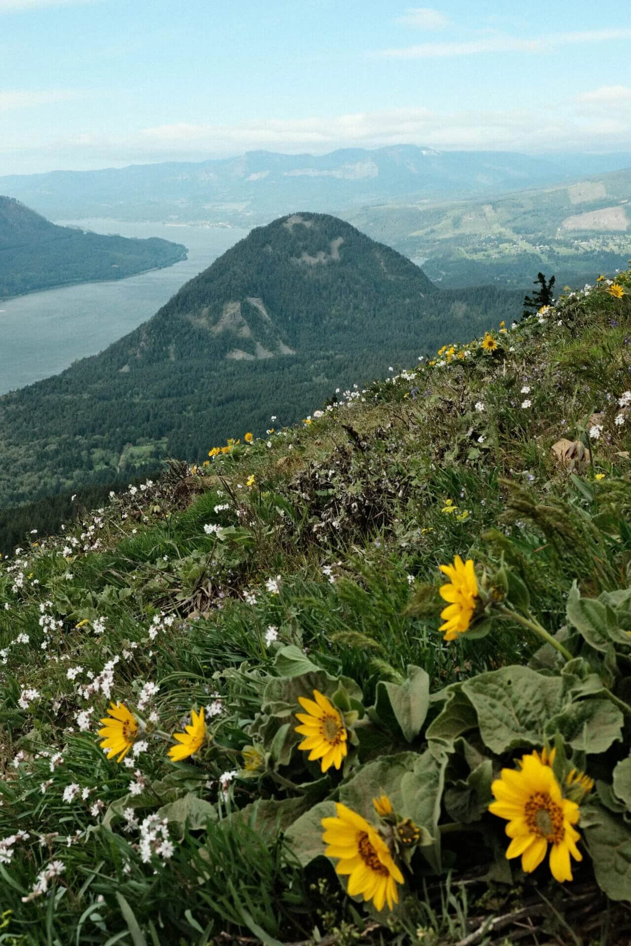
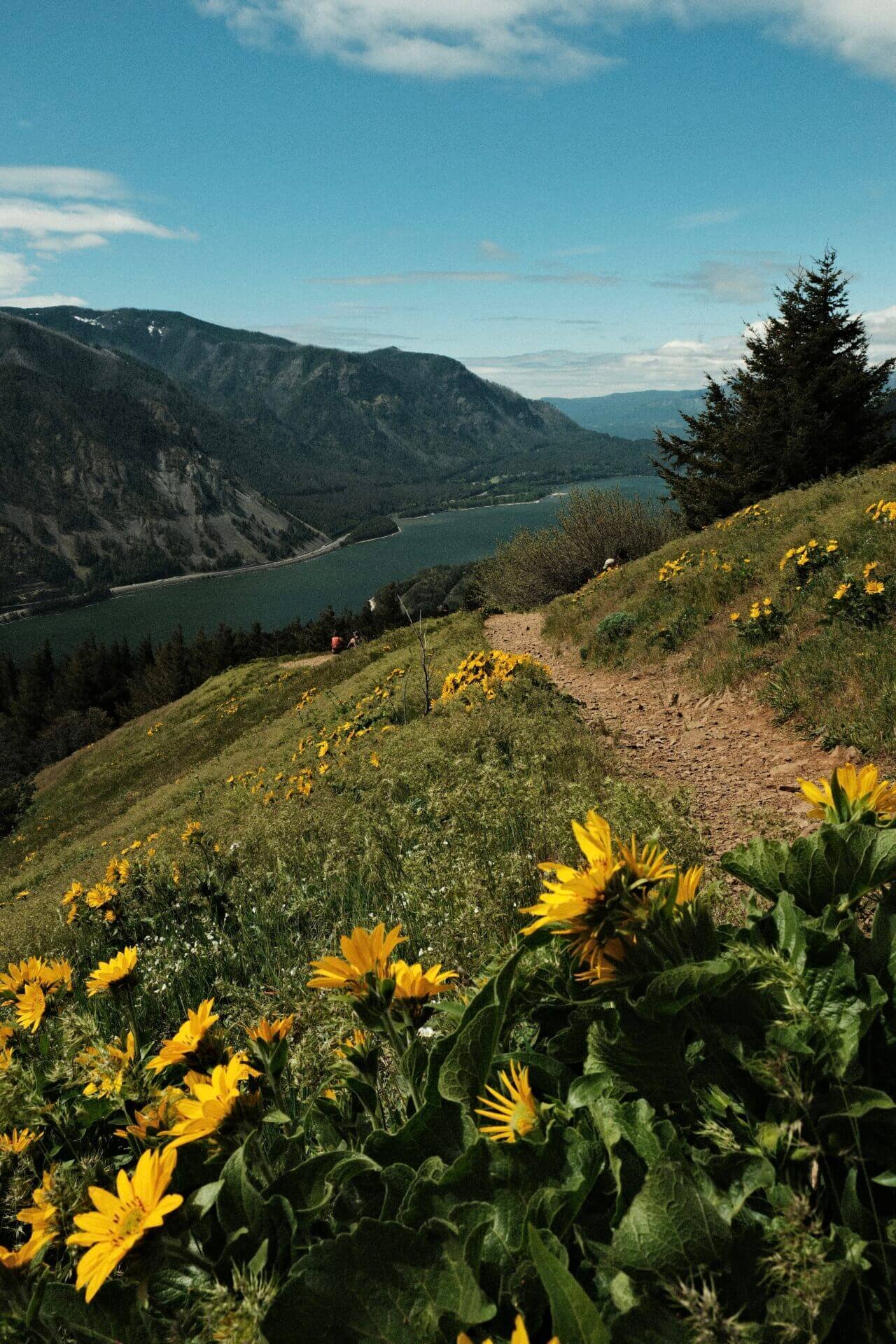
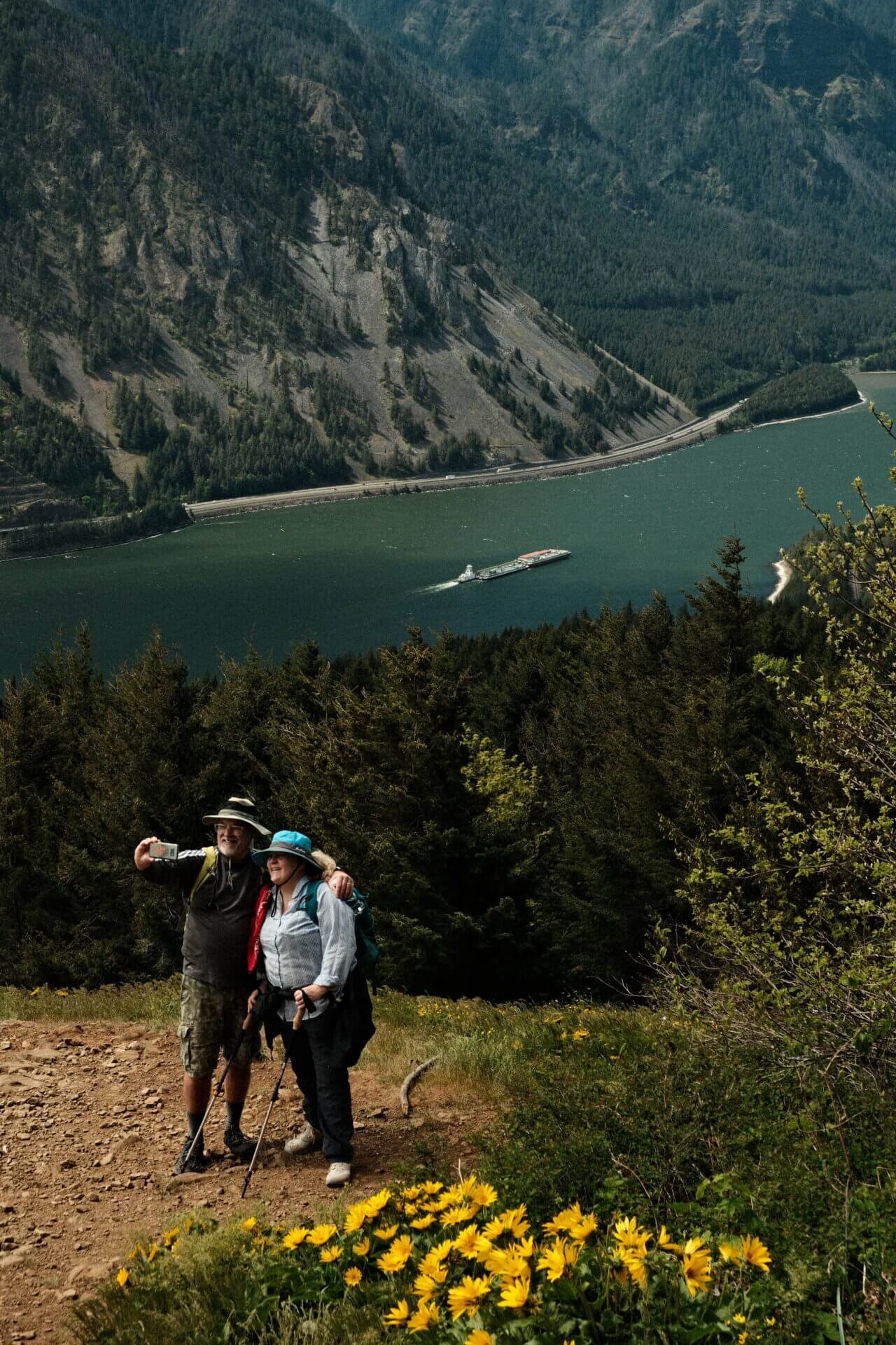
Dog Mountain
Hike Length: About 7 miles roundtrip depending which route you choose
Elevation Gain: 2800 feet
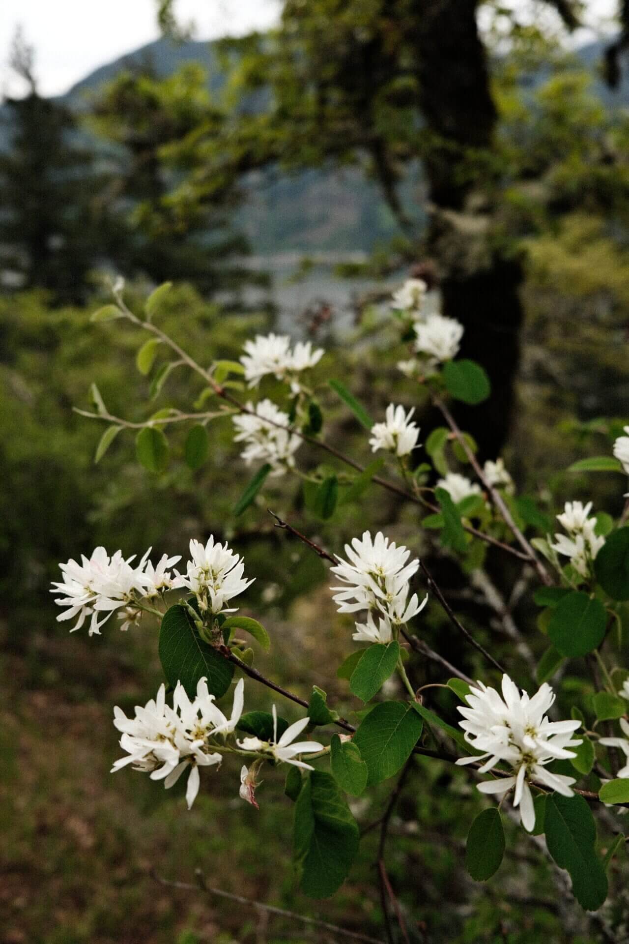
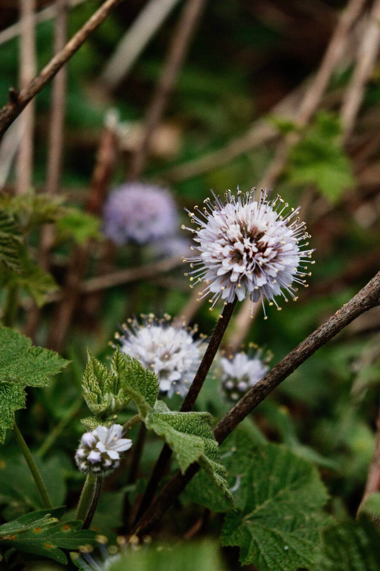
Dog Mountain is the most popular wildflower hike in the Columbia River Gorge, and for good reason. During peak season, you'll need a permit to hike this trail on weekends, so be sure to plan ahead. The wildflowers typically reach full bloom in late spring, transforming the trail into a colorful, hillside meadow. Before you go, check the Pacific Northwest Wildflower Bloom Map to see current conditions and make sure you’re catching the flowers at their best.


There are three main trail options: the easier route, the more challenging route, and the Augspurger Loop. You can find a map of these routes and more trail information here. Be sure to bring extra layers, the weather at the summit is often drastically different from the conditions at the trailhead.

Map from Oregon Hikers
Spirit Falls
Hike Length: 1.5 miles roundtrip
Elevation Gain: 600 feet
Spirit Falls can be a bit tricky to find since it doesn’t have a marked trailhead. To get there, use the coordinates 45.7259392, -121.6383086. If you plug them into Google Maps or your favorite navigation app, you’ll land on a bend along Cook-Underwood Road. Look for a dirt pullout on the right-hand side, that’s your parking spot. The trail begins at the back of this lot, near the trees.
Be warned: the descent is extremely steep, with plenty of loose gravel and rocks. This trail isn’t recommended for young kids or anyone with mobility limitations. There were a few points where I had to slide down on my hands or scoot on my butt to stay safe. But once you scramble your way to the bottom, Spirit Falls rewards you with a breathtaking view tucked away in the forest.
Panther Creek Falls
Hike Length: Less than 1 mile roundtrip
Elevation Gain: Less than 100 feet
Panther Creek Falls is tucked just off a forest service road where you will not have cell service. Be sure to mark the trailhead in advance and either download a map or bring a physical one. The walk to the upper viewpoint is a quick 0.1-mile stroll. If you’re up for a bit more adventure, you can hike down to the base in under 10 minutes. From there, you’ll be rewarded with unobstructed views of the cascading falls and the lush valley beyond.

Falls Creek Falls
Hike Length: 3.4 miles roundtrip
Elevation Gain: 850 feet
Falls Creek Falls is also accessed via a forest service road, and like Panther Creek Falls, there’s no cell service, so take the same precautions. The hike to the falls is peaceful and immersive, with the steady roar of Falls Creek guiding you through a forest filled with lush greenery at every turn. It’s one of my favorite waterfalls in the gorge. You get stunning views with minimal effort, making it well worth the trip.

Note for the reader: I share these locations so that others can see beautiful places and enjoy nature as much as I do. Please be respectful of the outdoors and what condition it is in when you visit. Don’t go off trail, leave no trace, and pack out what you came in with.