Aerial Survey in Gates of the Arctic National Park and Preserve
Visited in the summer of 2015

Gates of the Arctic is a remote wilderness park with no roads or trails leading in or out, so visitors must either fly or hike to reach it. Covering 8,472,506 acres, it is the second largest national park in the United States. Due to its inaccessibility, the number of annual visitors is extremely low. Only 11,907 people visited in 2024. This limited human presence helps preserve the park’s pristine condition, making it a true sanctuary for wildlife.


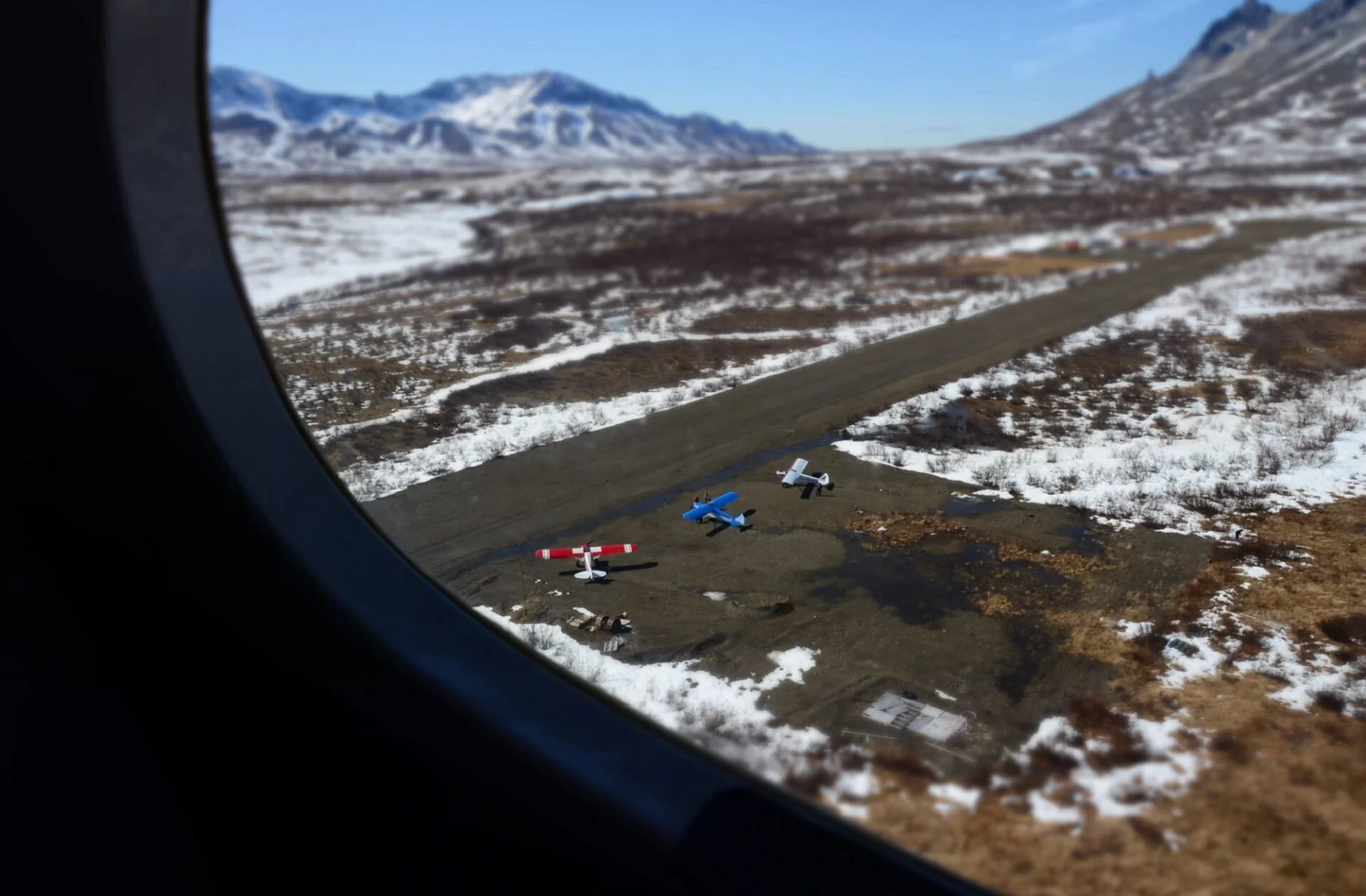
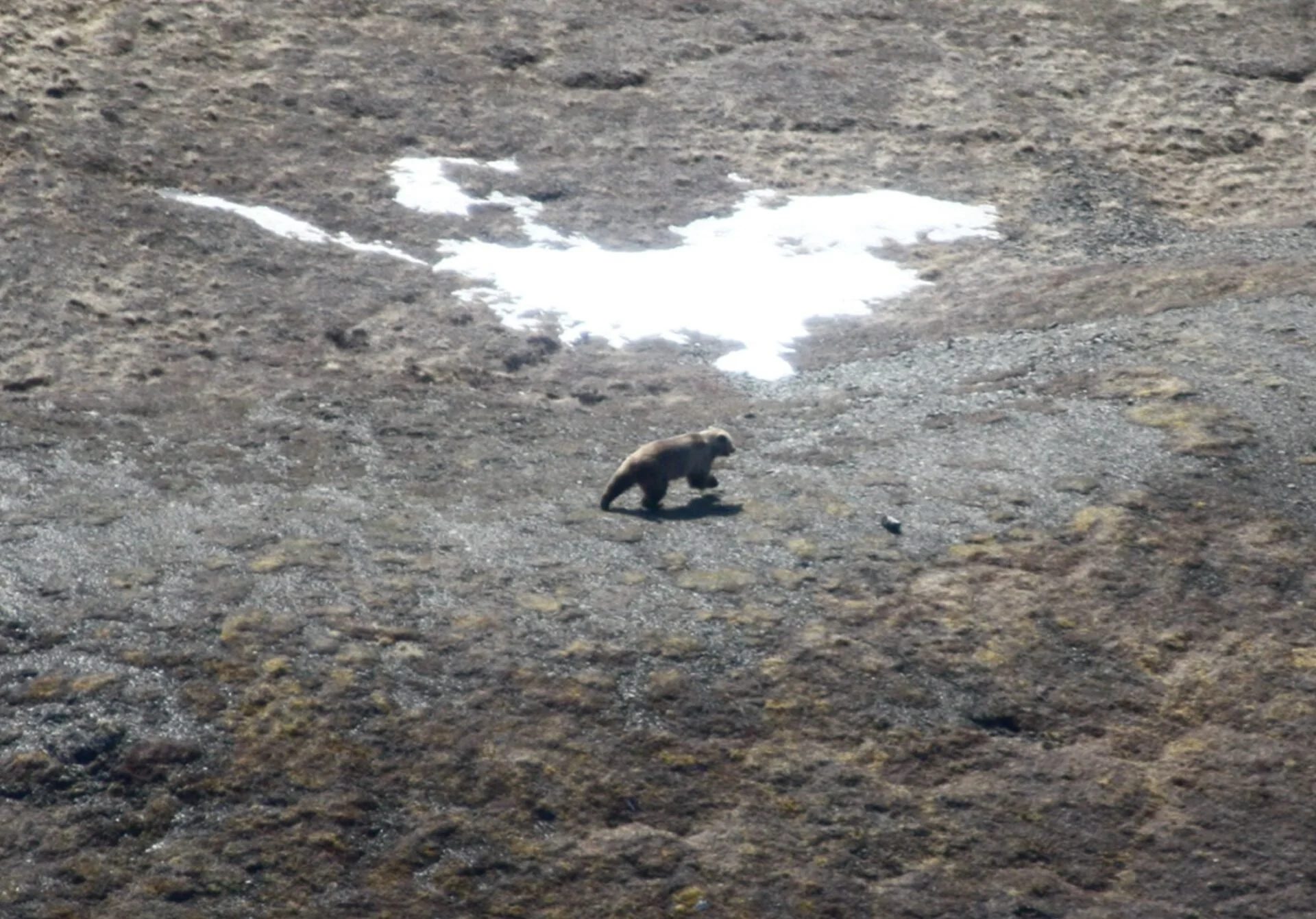
Although the park doesn’t attract many tourists, it brings in scientists each year for research. In college, I was lucky to join an aerial bear survey with the National Park Service. The purpose of the survey was to monitor bear population, density, and composition. Based in Kotzebue, Alaska, we spent weeks flying in small two-seater bush planes over the park, counting bears in a gridded survey area. We flew low over each section, scanning for bears and snapping photos when we could. It was a unique and inspiring experience that deepened my appreciation for untamed wilderness.

Kotzebue, Alaska

One of the bear survey bush planes
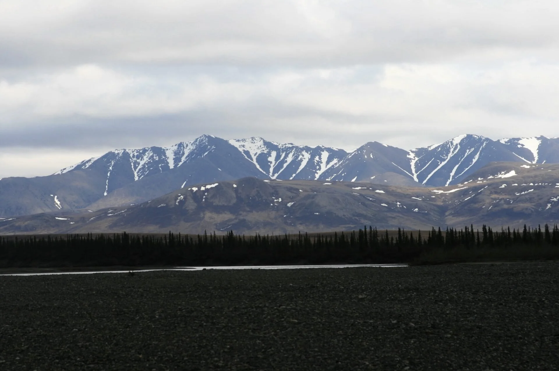
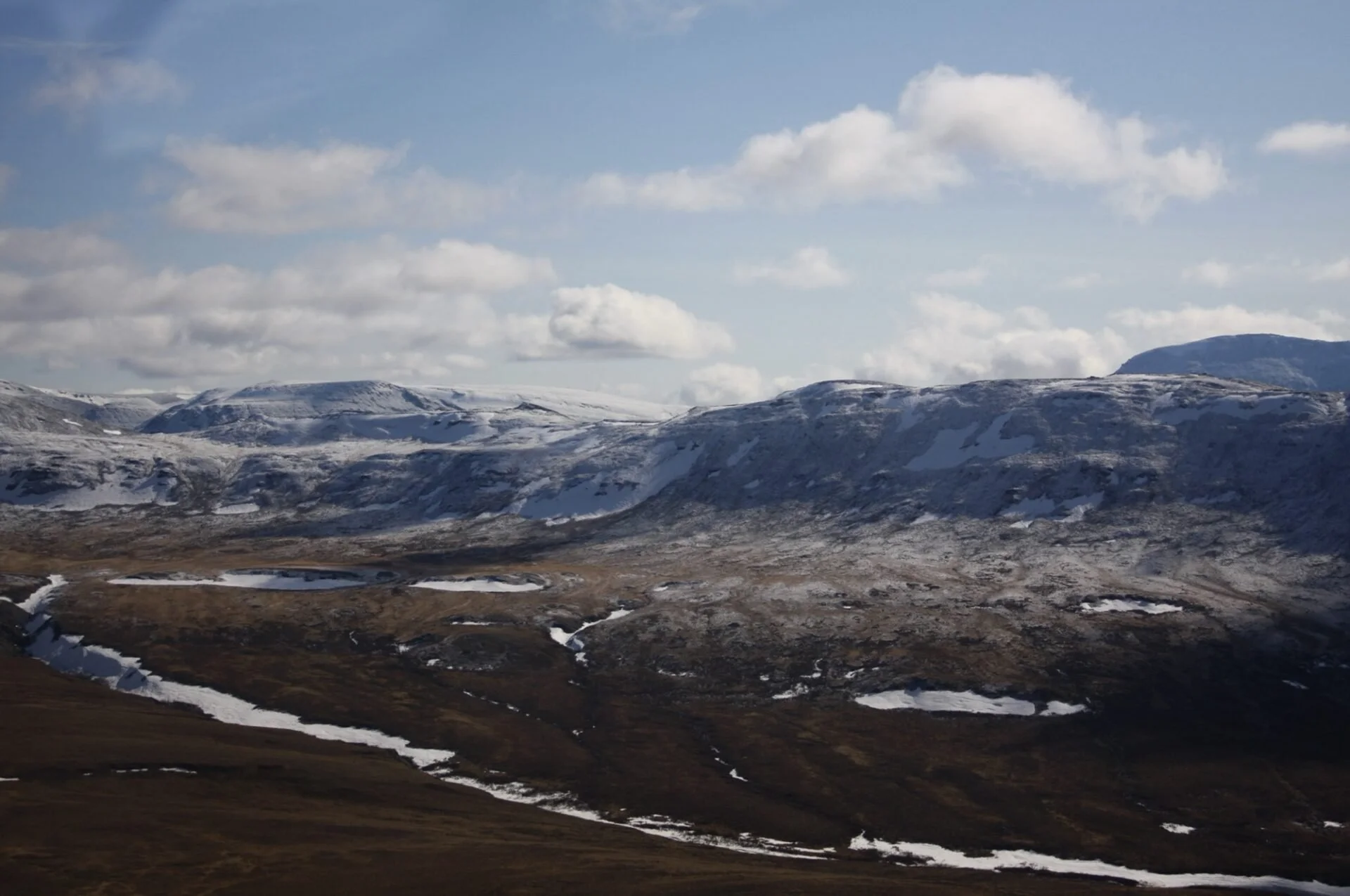
Flying for hours in a small plane during summer was not ideal for someone with motion sickness (that someone was me). I got sick multiple times each flight, throwing up over nine times in one of my last days flying. Eventually, I switched to helping with data entry in Kotzebue. Even though I could not fly every day, the parts of the park I did see were stunning. It is one of the most beautiful places I have ever been, and I am excited to share some of the photos we took during the survey.